 |
|
This small
stone
circle is situated on a shelf of flattish land on the eastern side
of Hallam Moors about 200 metres before the land drops away sharply
to the valley of Wyming Brook with Rivelin Dams to the north and Redmires
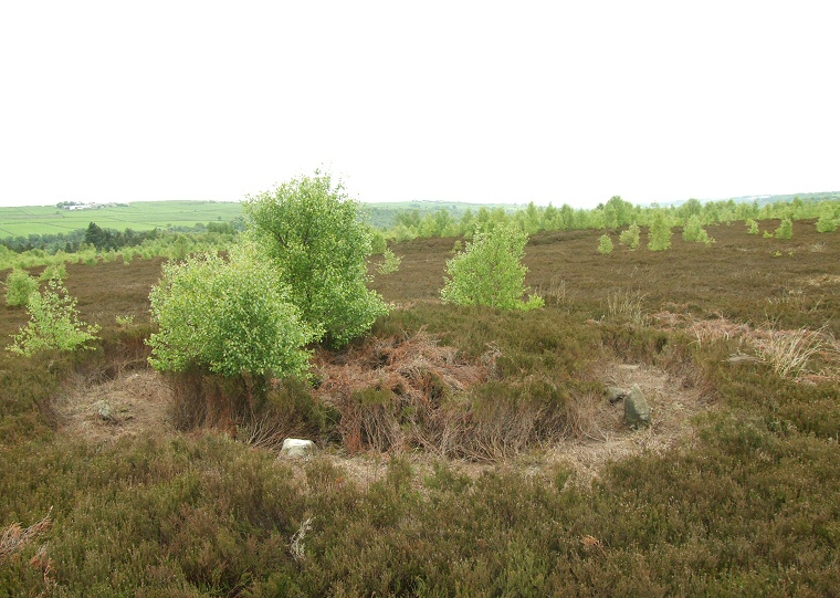
Reservoirs to the south. As can be seen from the photograph above the low stones (less than half a metre tall) are frequently lost in a thick covering of heather - presumably why the circle was not discovered until 1981. When I was there somebody had recently cut back this heather around the stones otherwise the site would have been almost impossible to find. What is revealed is a an oval of stones measuring between 4.5 and 5.5 metres in diameter set into the inner edge of an earth and stone embankment which measures a further 1 to 2 metres in width. Despite the stones being visible it not necessarily easy to count them - they are small in size and it is not certain whether some are fallen standing stones, large packing stones from the embankment or the remains of a kerb. English Heritage list two as standing, three fallen and three slabs from a kerb, I counted eleven recognisable stones but I made no differentiation between their different uses. In the photograph above which was taken looking roughly northeast three stones are visible to the left with the tallest stone of the circle to the right with another small stone just beyond. A short distance away to the northeast is a wide standing stone that is now tilted back at an angle which may have formed an outlier to the circle, there are also reported to be several cists or cairns close-by, although I have yet to locate these. Probable Date: Bronze Age |
 Montage of some of the stones of Ash Cabin Flat circle with the outlying stone on the right |
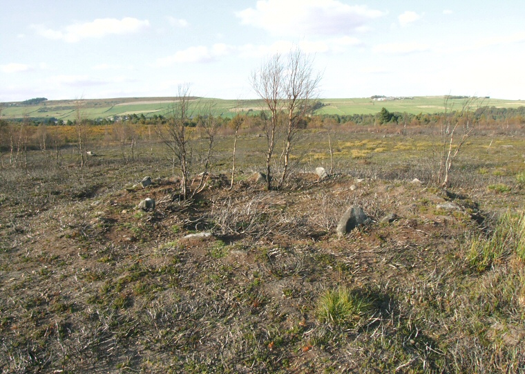
| Update Autumn 2009: Sometime over the summer part of the area containing the stone circle was fired, presumably as part of a plan clear areas of deep heather and to allow different habitats to be established. The result of burning back the heather meant that the stones of the circle became much more evident (compare this picture with the one at the top of the page taken at roughly the same angle) and I was surprised to see how clear the enclosing bank was. |
 |