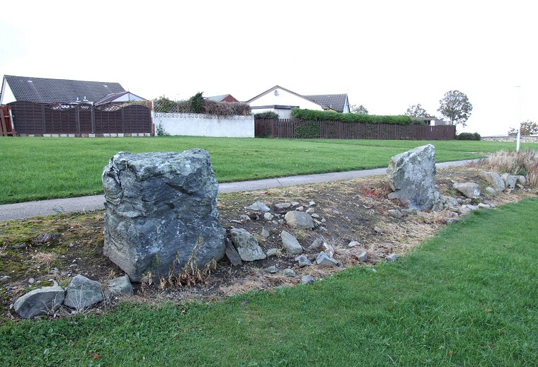
 This pair of stones that form part of a field edge are from a stone circle that was destroyed about 200 years ago. The circle itself would have stood just behind the camera position. |
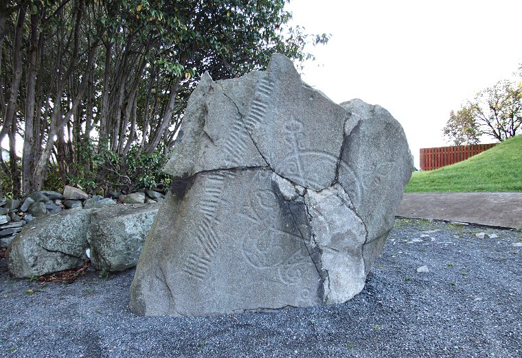
 Repaired Pictish symbol stone with Ogham script, for details of carvings see here. The stone is located just a few metres away from the pair in the upper picture but is actually of a much later date. |