 |
This is another Peak
District site where there is some confusion over the exact classification of the
monument. Some sources believe it to be the remains of an embanked stone
circle while others including the Scheduled Monuments Record believe it to
be a ring
cairn, both would date it to the Bronze
Age. It is located about 80 metres north of a large walker's cairn that
stands on a small knoll that marks a high point on Brown Edge, a short distance
to the east the land drops away rapidly towards Totley, a small village on the
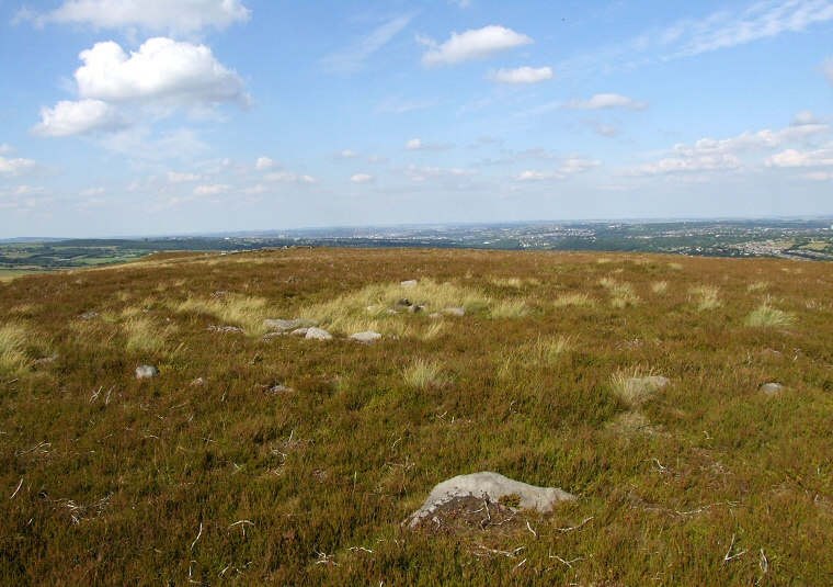
outskirts of Sheffield. The circle consists of a 3 metre wide stone and turf bank that has an internal diameter of between 6.5 and 7 metres with traces of a stone kerb on the inner and outer edges. There also a couple of larger stones that appear to have fallen inwards although there is no record of how many of these larger stones may have existed and have since been removed or destroyed. A small smashed cairn is located towards the centre of the ring. The image above is looking northeast across the circle, the bank extends to nearly the edge of the picture on either side marked by the stones of the inner and outer edge visible to the left of centre. The cairn is next to the clump of grass in the middle of picture. The site was excavated in 1963 and finds included cremation remains, urns, a pygmy cup and a limpet shell as well as a hearth and pieces of burnt wood. Finds now in Weston Park Museum, Sheffield. |
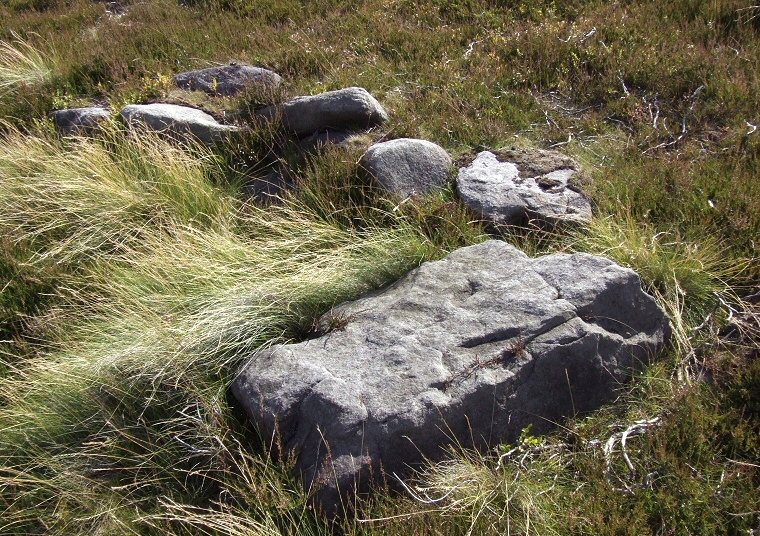
 The inner kerb stones with large fallen stone |
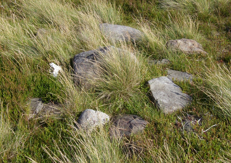
 Stones of the central cairn |
Back to Map | Home | Full Glossary | Links | Email: chriscollyer@stone-circles.org.uk