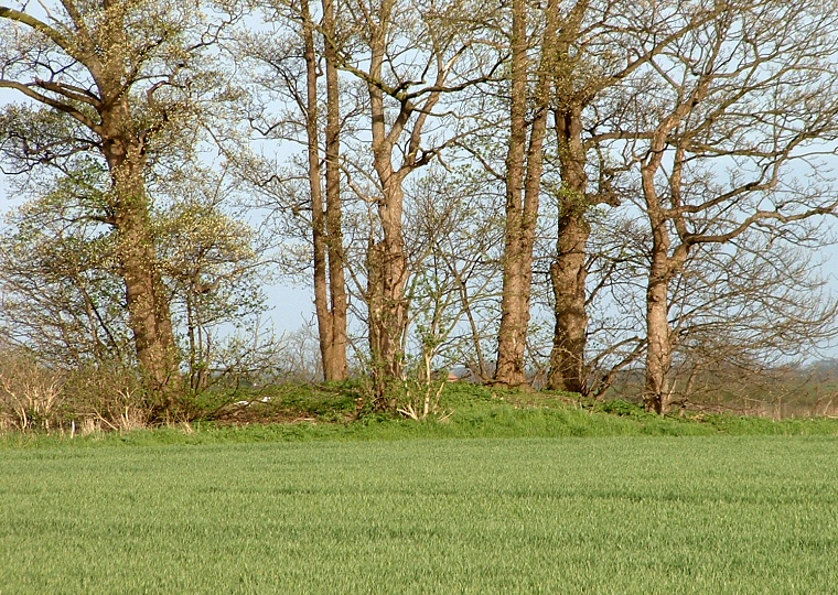
Just outside the village
of Buslingthorpe on the boundary of two fields (which also serves as a parish
boundary) is this smallish round barrow measuring about 15 metres in diameter
and just over a metre in height. There are slight traces of a surrounding ditch
to the north and south.
The position of this monument is unusual when compared to most Lincolnshire round barrows in that it stands on very flat land - indeed it is just a couple of metres above, and half way between, two nearby streams that go on to flow into Barlings Eau. Slightly further to the north the land starts to rise so it seems that proximity to these streams was more important to the builders than any thoughts of an elevated position - is it possible that this barrow has been marking a boundary since the Bronze Age?
The position of this monument is unusual when compared to most Lincolnshire round barrows in that it stands on very flat land - indeed it is just a couple of metres above, and half way between, two nearby streams that go on to flow into Barlings Eau. Slightly further to the north the land starts to rise so it seems that proximity to these streams was more important to the builders than any thoughts of an elevated position - is it possible that this barrow has been marking a boundary since the Bronze Age?