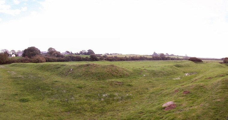
 Looking south across Caer Leb from the outer bank which can also be seen to the right of shot. |
|
Just
down the road from the passage grave of Bodowyr is
this large almost rectangular earthwork consisting of a double bank and ditch
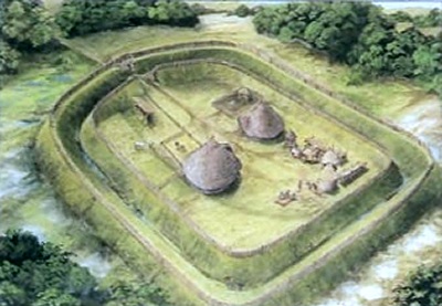
construction measuring roughly 60 metres by 50 metres. The inner bank still stands to a height of 2 metres in places and it is possible that it is originally supported a stone wall, the outer bank is less  well preserved, however sections to the northwest and southwest are still quite prominent features. well preserved, however sections to the northwest and southwest are still quite prominent features. Although three of the sides are straight the forth, to the southeast, is slightly curved and has an entrance through its centre which gave access over the ditch into the central living area. As the site is built on low-lying damp ground it seems probable that the ditch was designed to hold water, indeed in the photograph above shallow pools can still be seen in places along the length of the ditch. Internally the traces of several building have been discovered (an artists impression is shown left, taken from the information board at the site). These appear to have had stone foundations and include a rectangular structure to the east and a roundhouse towards the centre of the site that measured about 6 metres in diameter internally and which was paved with stone slabs and had a hearth that was unusually placed near to the wall rather than in the centre of the structure.. The date of the Caer Leb's construction and the length it was actively occupied are not clear. It may have started life in the late Iron Age and continued in use as a defended Romano-British settlement through the Roman period. Certainly the finds from the site are from this later date including sherds of Samian pottery as well as a coin and penanular brooch both dated to sometime between 200 AD and 300 AD. |
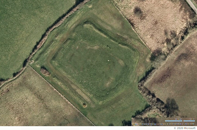
 Bing satellite image of the earthworks of Caer Leb settlement. The original entrance through the banks and ditches would have been to the lower right, modern access to the site is at the top middle of the picture. |