 |
| There
appears to be little information about this site - it is marked on the Ordnance Survey map
as a Chambered Cairn, but these descriptions can often be inaccurate. In this
case however the description could be right, in the corner of a field between
two country lanes are what may be the remains of some kind of burial
chamber. It seems to be badly damaged and part of it is now used for the feeding
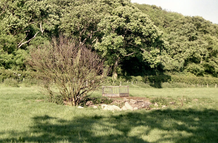
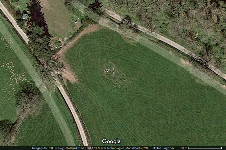
or watering of stock. The rather poor quality photograph above was taken in 2000 from the edge of the field with a few of the stones of the chamber visible in the dip in the ground, the satellite image below shows the rectangular form of the chamber remains a bit more clearly as well as what appears to be a scatter of stones from the cairn. Nearby in this beautiful part of Wales is a cave with evidence of human and animal occupation dating back over 225,000 years with finds of bones of hippos, rhinos and woolly bear as well as human teeth. Update: I've since found out that this site may be more properly titled Tyddyn Bleiddyn and what remains today is a rectangle of ten upright stones set into a hollow that define a chamber about 2.5 metres long located at the northwest end of a low cairn of stone and rubble. This cairn is aligned northwest to southeast and measures roughly 26 metres long by 11 metres wide but now barely reaches half a metre in height. There are a further two hollows within the cairn, one of which may be the destroyed remains of a further chamber. A large number of burials are said to have been found within the chambers when the site was excavated in the late 19th century. Date: Neolithic |
 Satellite image of Cefn Meiriadog / Tyddyn Bleiddyn chambered cairn. The chamber is visible as a rectangular setting of stones in the centre of the image while the form of the northwest to southeast cairn can just about be made out as the scatter of stones to the right. Satellite image of Cefn Meiriadog / Tyddyn Bleiddyn chambered cairn. The chamber is visible as a rectangular setting of stones in the centre of the image while the form of the northwest to southeast cairn can just about be made out as the scatter of stones to the right. |