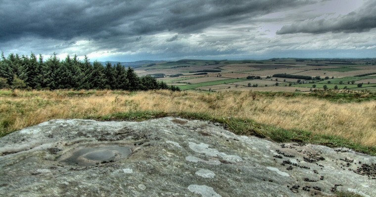
 View northwest from the cup and ring marked rock within the settlement site - the banks of the enclosure run across the centre of the picture. |
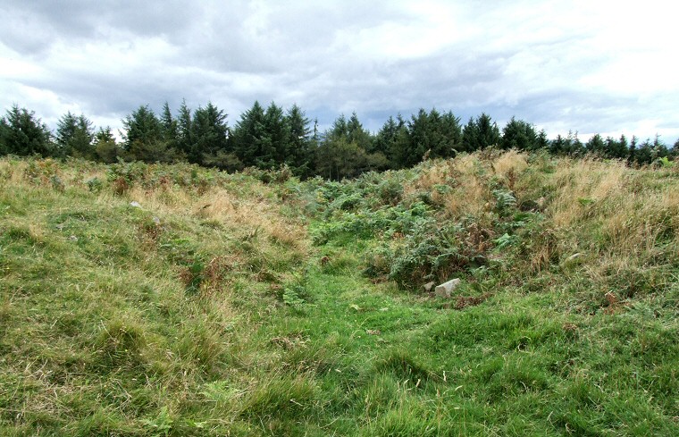
 View to the west along the ditch with banks on either side. |
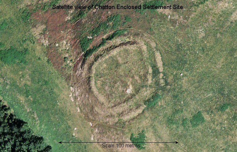
 Google Earth view of Chatton Enclosed Settlement Site with north at the top of the image. |
|
See
also Chatton 2-4-5 for details of the
cup and ring marked rock.
|
Back to Map | Home | Full Glossary | Links | Email: chriscollyer@stone-circles.org.uk