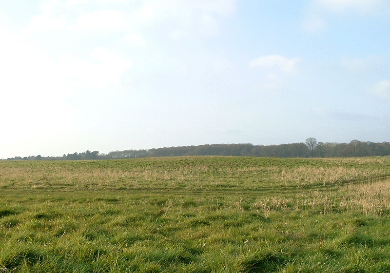
There is no indication of how large this barrow once was but two excavations and agricultural use of the field have reduced the mound to about a metre and a half in height and spread earth over a 45 metre diameter area. The first of these excavations took place in 1867 under the direction of Edward Peacock when a pair of urns were found along with a layer of partly cremated bones, a second excavation was carried out sometime around 1911-1912 which uncovered a layer of burnt earth.
It is difficult to figure out why the barrow builders chose this particular spot, the nearest source of water is a tributary of the River Eau about a mile away, while if a view westwards across the Trent Valley was important then the higher ground of the Lincolnshire Edge itself just to the east would have seemed more ideal.
Date: Bronze Age