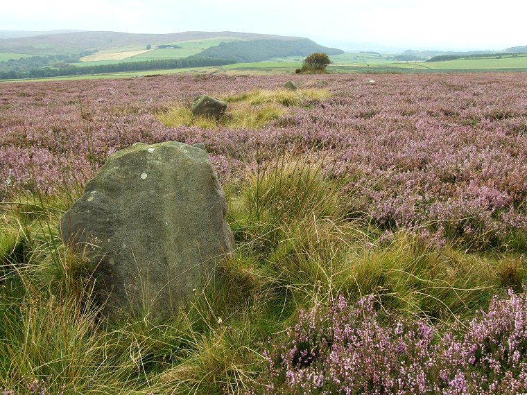
 View looking southwest over an arc of five stones on the southern side of the circle. The bluff of land at the top of the picture is the northern edge of Warren Moor that leads down abruptly to the Kildale gap at the top right. |
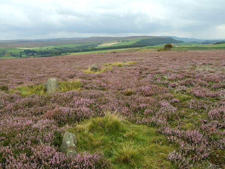
 Another view of the southern stones looking across to Warren and Kildale Moor. The scale of the circle can be judged by following the arc of four visible stones and extending it round to the upper right of the picture - a couple of low stones can be seen as very faint pale dots in the heather. |
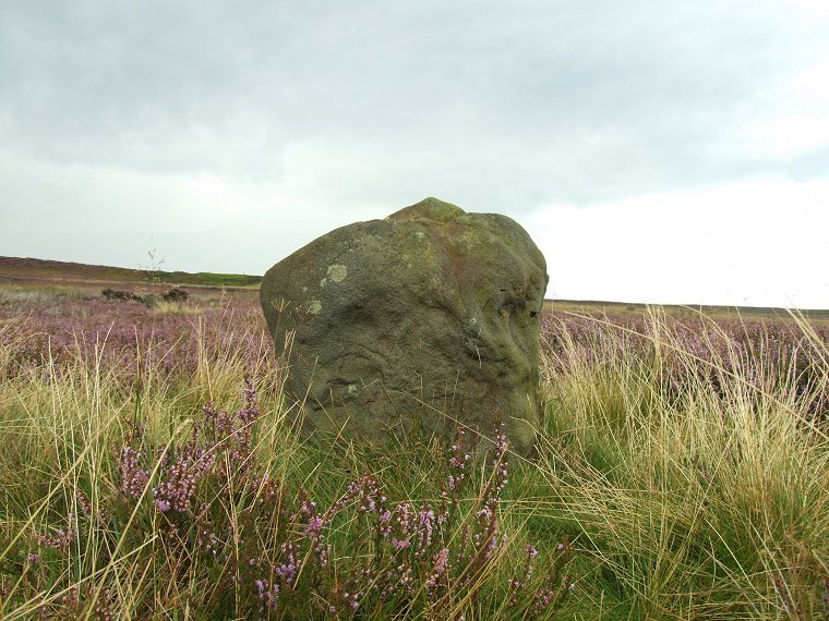
 I'm not sure which stone this is but it illustrates the difficulty of photographing the circle in summer when the grass and heather is in growth. |
Back to Map | Home | Full Glossary | Links | Email: chriscollyer@stone-circles.org.uk
