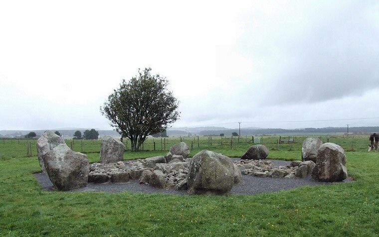
 View looking northeast through the rain towards the hills that stand to the north of the town of Westhill. Although the circle is known as Cullierlie it is marked on the OS map as the 'Standing Stones of Echt' and consists of a small circle of eight low stones surrounding a cluster of eight cairns. |
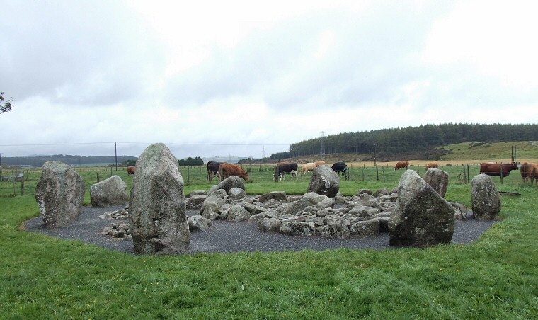
 Looking across the circle towards the southeast. |
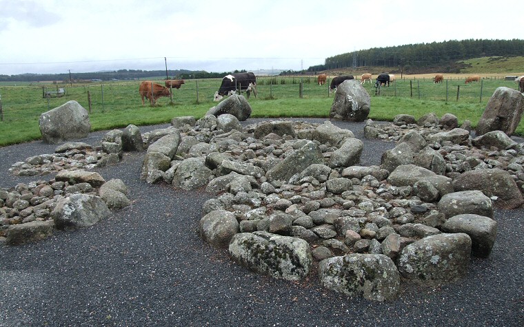
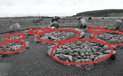
 Wide angle view over the internal cairns, seven of the eight are visible in the picture above and highlighted below. 
|