Culsh
Iron Age Souterrain
Northeast of Tarland, Aberdeenshire OS
Map Ref NJ50480548
OS Maps - Landranger 37 (Strathdon & Alford), Explorer 405 (Aboyne, Alford
& Strathdon)
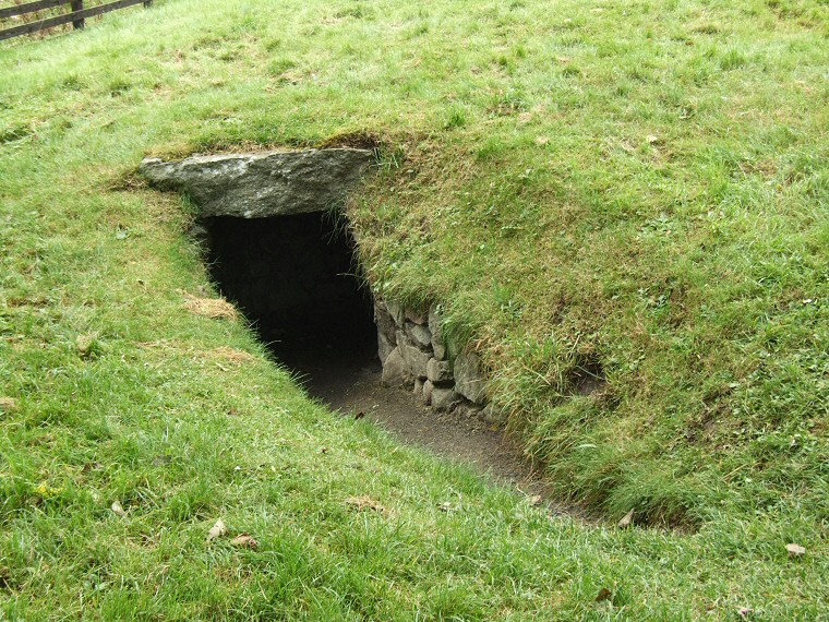
![]() Entrance to Culsh Souterrain. The fence to the top left give an indication of scale. |
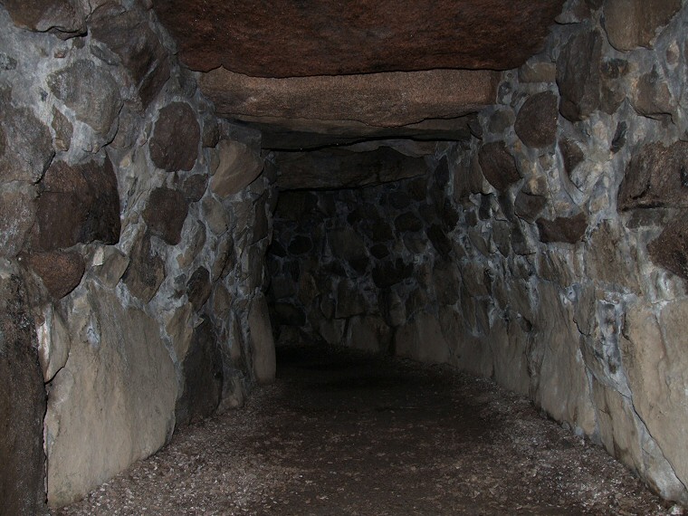
![]() View looking towards the entrance from part way along the passage, note the curve of the structure. |
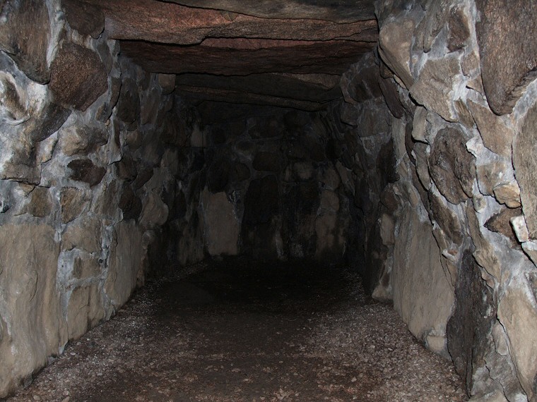
![]() View of the end of the passage. |
Back to Map | Home | Full Glossary | Links | Email: chriscollyer@stone-circles.org.uk