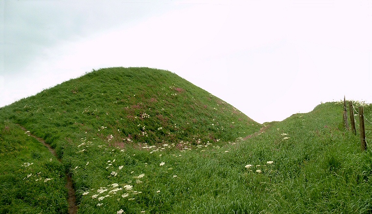
The northern terminal of Dane's Dyke where it meets the cliffs. The ditch can just be seen on the right.
The name of
this huge earthwork is misleading, in the past it was believed to have
been built by Danish invaders, then more recently some archaeologist recorded
it as Iron
Age. Current opinion is that it was constructed in the middle to late
Bronze
Age as were many of the defensive/boundary banks and ditches that
cover large areas further west on the Yorkshire Wolds, although it is
entirely probable that it was later used and modified during the Iron
Age and even as late as the 9-10th century AD.
The bank’s construction started with a layer of compacted stones which were overlaid with chalk blocks, rubble and earth and covered over with a layer of turf to a height of between 4-5 metres and a width at the base of about 20 metres. To the west of the bank the ditch, which has become partly infilled over time, is estimated to have been around 3-4 metres deep and up to 12 metres wide. In places the existing single ditch/bank is joined by another smaller bank on the western side, and occasionally a pair of banks.
It is interesting that the southern end of Danes Dyke starts (or ends) at a natural deep gully that leads down to the sea and it could be that this natural defensive feature was the inspiration for the earthwork which runs north for two and a half miles to the northern edge of the Flamborough peninsular. The enclosed area measures about 5 square miles and is naturally defended to the north, east and south by cliffs making it an ideal fortified settlement site although there seems to be no obvious signs of occupation except for a single round barrow and I have yet to find much archaeological information for the area.
The bank and ditch are cut in half by the B1229 road and are further bisected by the B1255 a little further south – there is a carpark and paths down to the sea at its southern end and access through the RSPB reserve at Bempton Cliffs to the north - the map reference is for this northern end.

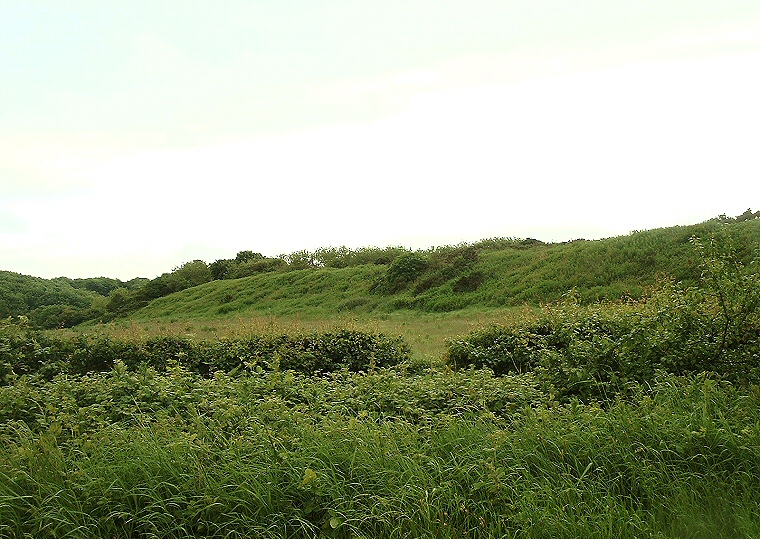
Part of the central section of the bank.

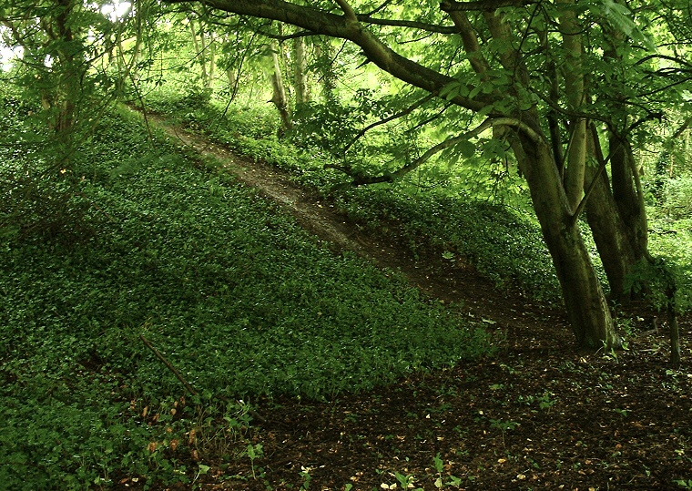
Southern end of the Danes Dyke, the bank is covered in trees.