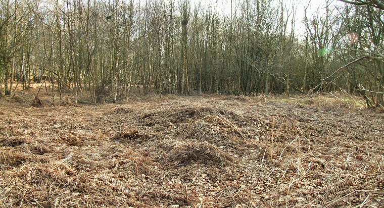
 Danes Hills, square barrow mound at SE64873766. |
|
Danes Hills is a small
Iron
Age 'square barrow' cemetery situated to the northwest of Skipwith
Common nature reserve (marked as 'Skipworth' on the OS map) close
to, and somewhat damaged by, the remains of an airfield built during
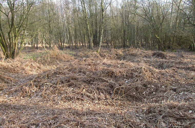
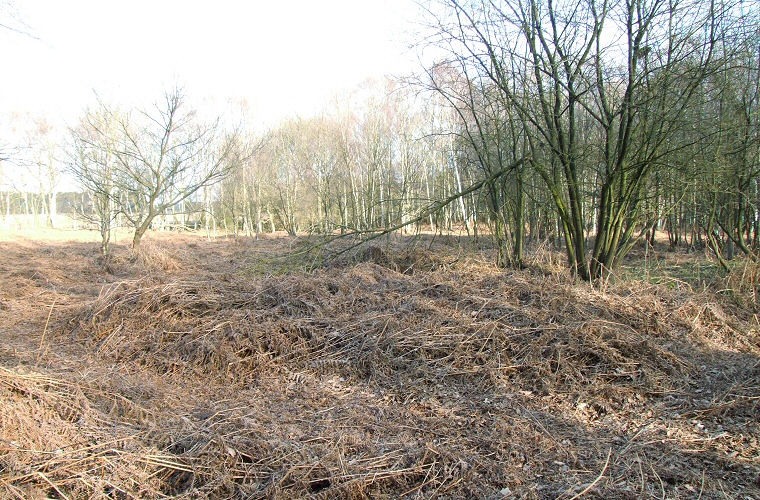
the 1940's. The barrows are quite difficult to find on the ground - I found two that were located to the northeast of the end of the old runway but both were heavily overgrown and not worth trying to photograph, while I struggled to identify any within the woodland to the northwest of the runway. English Heritage give the coordinates of the two I found as SE64783775 and SE64873766 but groups those in the woodland under a single coordinate SE64383771 which does not seem to correspond with a particular barrow and a close study of the map seems to indicate that a pair of barrows may stand a little to the northeast of this point. A study of the area in 1994 suggests that there were at least twenty barrows within this group. The barrows have been subject to four excavation attempts, the first in 1754 by a Dr John Burton uncovered two sets of bones, one consisting of a decapitated body with its skull between its knees facing east. Nearly one hundred years later in 1849 William Proctor investigated around ten barrows and in all of those he looked at he found a thick layer of charcoal at a depth of about one metre containing occasional pieces of bone, iron and flint fragments. An investigation of four of the barrows in 1941 remains unpublished while the excavation of a single barrow in 1998 revealed a further layer of charcoal and bone fragments. All of the barrows have been recorded as being circular mounds ranging from 5 metres to 20 metres in diameter surrounded by square ditches around a metre wide with all but one of these ditches have their sides aligned north to south and east to west. The height of the barrows has been reduced over the years with the remaining mounds all measuring less than half a metre. About half a mile to the east there are four Bronze Age round barrows, evidence that this area had already been in use for a long period but why this should be so is not clear. The land is very flat being only 10 metres about sea level and it is possible that it formed a marshy 'liminal' area between the living and the dead on the edges of the River Ouse and River Derwent flood plains, both rivers lying within a few miles to the east and west respectively. The name 'Danes Hills' comes from a mistaken belief that these mounds marked the graves of soldiers killed during the battle of Stamford Bridge in 1066, they were instead constructed long before, sometime after 500BC. Update: I returned to the site in early spring to have another look for some of the barrows. The ones to the northwest of the old runway still proved elusive although a small mound under the trees at SE64473775 looked like a possibility. To the northeast of the runway the barrow at SE64783775 is visible as a slight hump but was still impossible to photograph while the barrow at SE64873766 survives as a slight mound covered in dead bracken shown at the top of this page. A few paces to the south I found the pair of larger mounds shown below, and although covered in dead undergrowth the existence of some kind of mound was confirmed underneath. I can't say for certain that these are the remains of barrow mounds but given the often close proximity of graves in other square barrow cemeteries this would seem likely. |
 Possible barrow mound. |
 Possible barrow mound, just to the south of the previous one. |