 |
| This
walled settlement is thought to have started life either in the Bronze Age or the Iron Age although it is
unclear for how long it was occupied or why it was abandoned and it is possible its use could have continued sporadically until the late 4th
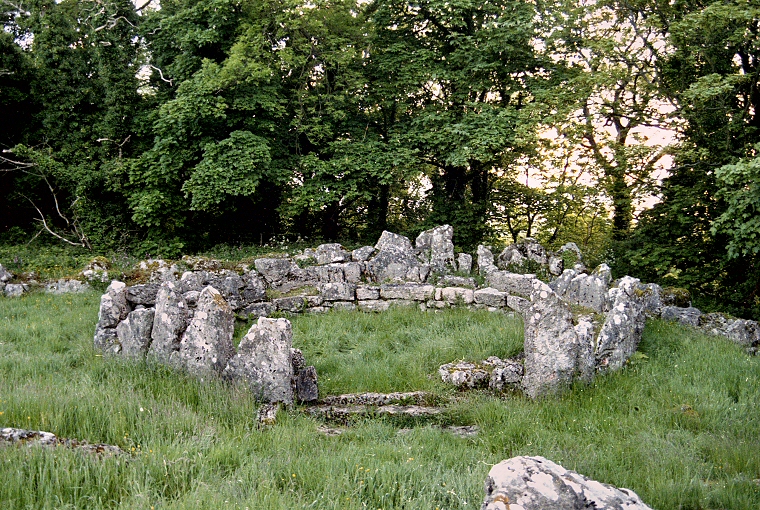
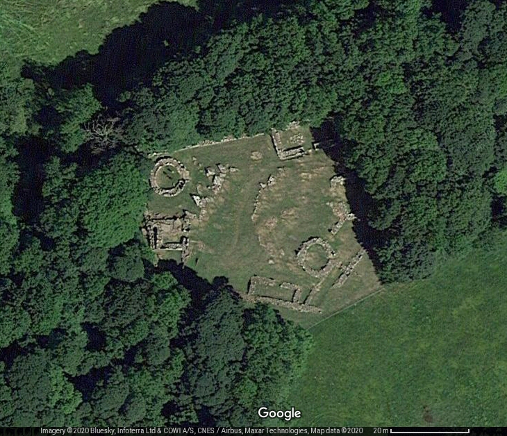
century AD (dated by finds of pottery and Roman coins). The buildings consists of two round huts, or roundhouses and seven rectangular huts. The foundations and lower parts of the walls of the huts are built of sometimes sizable limestone blocks which still survive to a height of between 1-2 metres in places. In the image of one of the round huts above which is situated at the northwest corner of the site, the view is looking through the entrance with its three stone door steps still in situ. Remains of slag and oak charcoal found in hearths in two of the huts suggest that during the Iron Age some of the building were being re-used as workshops for iron smelting. Enclosing the settlement is a five sided wall up to 1.5 metres thick consisting of an inner and outer stone facing filled with rubble and measuring roughly 60 metres by 50 metres (see satellite image at bottom of page). Some of the rectangular huts share their outer walls with this main wall which encloses an area of about half an acre or 2 hectares and has the remains of an entrance to the northeast. Din Lligwy is a short distance from the much earlier chambered barrow of Lligwy. |
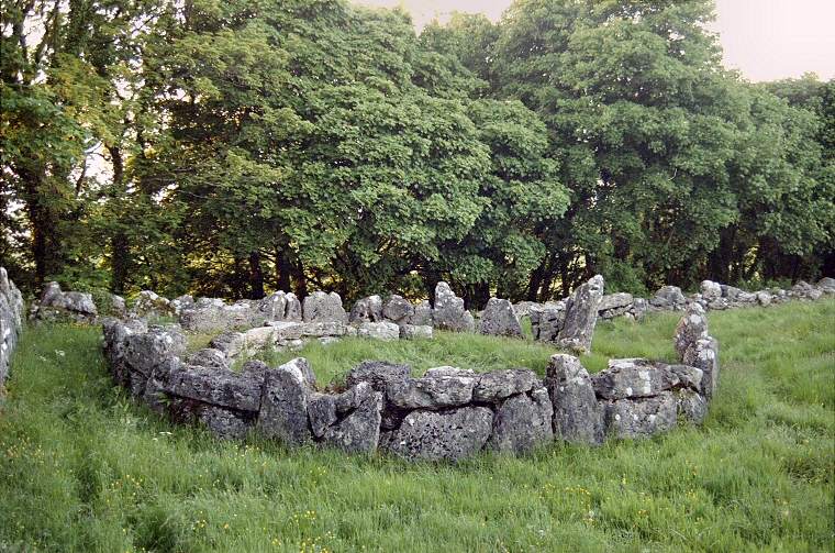
 Side view of the same hut as above with the settlement wall behind. |
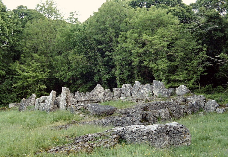
 Rectangular hut on the western edge of the settlement with its entrance to the left. |
 Satellite image of Din Lligwy. The photographs above are the two buildings to the left in this view. |