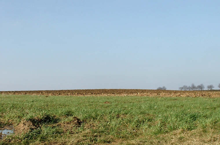
The ploughed barrow is the low mound of earth beyond the grass.
Although there is a tumulus marked
on the Ordnance Survey map in this area, there is very little to see on
the ground. In fact a wide low slightly raised area of soil is the only
evidence of the Bronze Age bowl barrow that once stood here - it was originally recorded
as being about 1.5 metres tall but ploughing has nearly destroyed it. What
is left still covers a diameter of about 35 metres and it is believed that
the barrow once also had an encircling ditch but this is now totally silted
up. It stands just to the west of the Bluestone Heath Road - a prehistoric
trackway.
Further to the west are the dismantled radio dishes from the Stenigot NATO communication station which formed part of the 'Ace High' microwave relay network from the 1950's to 1980's, and also a massive second world war 'Chain Home' radio transmitter mast.
Further to the west are the dismantled radio dishes from the Stenigot NATO communication station which formed part of the 'Ace High' microwave relay network from the 1950's to 1980's, and also a massive second world war 'Chain Home' radio transmitter mast.