Also known as Sunbrick or Birkrigg
Common, this stone
circle sits on a gently sloping hillside overlooking the village of Bardsea and Ulverston
Sands and with fine views eastwards out towards Morcambe Bay. Probably dating from
the Bronze
Age it originally consisted of a two concentric rings of stones with a possible
ditch between them.
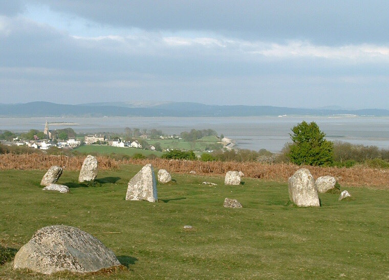
The outer circle measures around 26 metres in diameter and consists of fifteen stones which are now fallen and scattered while an inner ring of 9 metres diameter still has ten upright stones although none are particularly tall and barely reaching a metre in height. The photograph above looking northeast over Bardsea towards the hills of Ellerside on the horizon shows this inner ring of stones with a fallen stone of the outer ring at the bottom left.
Within the central area were found the remains of five cremations including one in a collared urn that is now in Carlisle Museum. As this circle is popular and has been damaged and rebuilt several times it is impossible to say if it has any significant solar or lunar alignments.

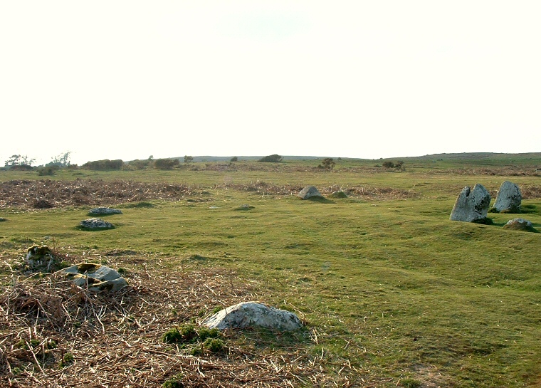
An arc of stones of the outer circle left and centre with stones of the inner circle to the right