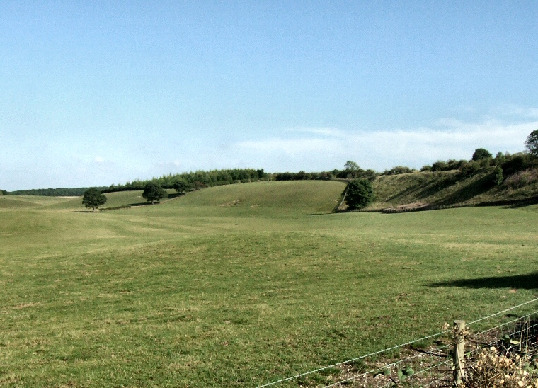
View southeast over the barrow - visible as the low mound in the middle of the picture.
According to
English Heritage this mound is the only proven example of a Neolithic
oval barrow in the Humberside area, what evidence they have to support
this statement is not known to me but may relate to pottery sherds discovered
during excavations of several barrows in the vicinity between 1969-70.
This barrow had actually been investigated before by Canon Greenwell the 19th century antiquarian who opened many barrows in East and North Yorkshire and who included the mound as number 'LXXX' in his 'British Barrows' in 1878. In his opinion the oval form of the mound which he recorded as being 21.5 metres by 19 metres and standing 1.2 metes tall was caused by earth being spread due to the action of ploughing. In contrast the English Heritage scheduling report of 1995 records the mound as now being 52 metres by 30 metres and standing 1.75 metres tall.
Why there is such a discrepancy between the two sets of dimensions is a mystery. Assuming that English Heritage have correctly identified this as Greenwell's barrow and that both measurements are also correct then we would have to conclude that the mound has been ploughed around its base but not over the top. This would account for some horizontal spread of earth and possibly also a slight lowering of the current ground level around the barrow but for it to more than double in length and increase in height by half a metre seems highly dubious to me.
Putting those reservation to one side and returning to Greenwell, he records the mound as having been constructed of earth mixed with small quantities of chalk and flint and covering a central pit 50cm deep by 30cm wide which contained the partially cremated remains of an adult male which in turn was covered with a layer of charcoal. The large quantity of this charcoal lead him to conclude that the body had been burned in situ before being placed into the preexisting pit. More recent research has detected a 2 metre wide ditch surrounding the barrow although this can no longer be seen on the ground.

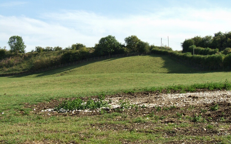
Looking south over the barrow. It is visible as the raised area between the disturbed earth/chalk and the railway embankment in the background.