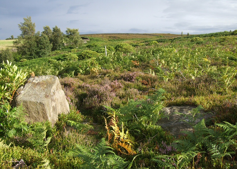
 Looking south through the northern entrance stones. |
|
|
The stones of Ewden
Beck ring
cairn stand on a gently northeast facing slope just 130 metres
south of the stream that gives it one of its names, the other name
relates to the site being at the northeast corner of Broomhead Moor.
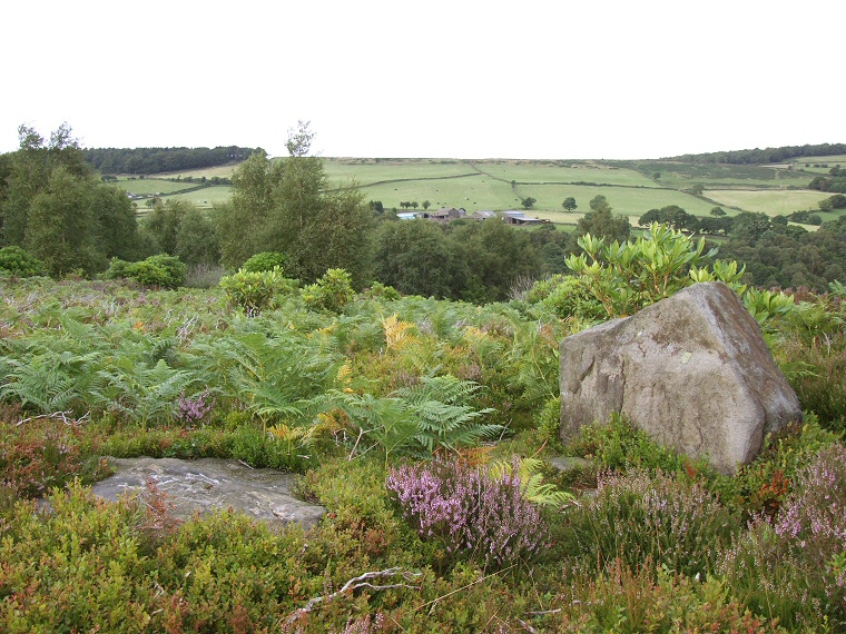
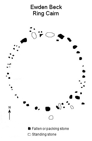
There seems to be some confusion as to whether it is an embanked stone circle or a ring cairn, English Heritage plump for the later while on the ground it's difficult to tell which as it's quite overgrown with grasses and bracken. Rooting around in this vegetation turns up many half buried small stones that form part of a bank which measures about 2-3 metres wide and has a diameter of around 20 metres. Set within this bank are four or five largish boulders that could be said to be standing together with a few slab like fallen stones, there are further large stones towards the north, north-eastern and south-eastern edges of the ring while those to the west are smaller and seem to be mainly packing stones. Within the area enclosed by the bank there are further groups of stones that could be the remains of small cairns. The bank is broken by a pair of entrances to the nort-northwest and south-southeast - the northern entrance seems well defined while the southern one is not quite so easy to recognise although a large fallen outlying stone could have been one of a pair that flanked this entrance. Ewden Beck has some decent views from the northwest round to the southeast but it's the Salter Hills to the east that really draw the eye. A short distance to the southwest of the site is a large earthwork known as Broomhead Dyke that runs for nearly a kilometre uphill but following the line of the stream, again there is some debate as to what this was, one suggestion is that it is a Bronze Age cross dyke that could have formed part of a territorial boundary or defensive system. Date: Bronze Age |
|
 Looking northeast through the northern entrance. |
|
 |
 |
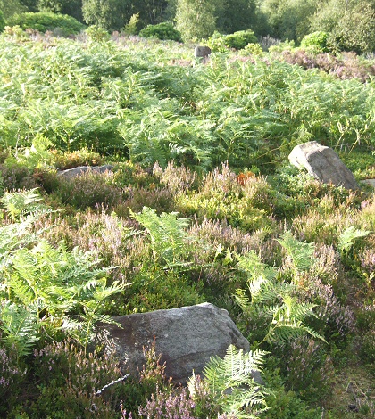
| Left: Outlier and southern entrance with a northern
entrance stone at the top of the picture. Right: Plan of the layout of Ewden Beck. |
|
Back to Map | Home | Full Glossary | Links | Email: chriscollyer@stone-circles.org.uk