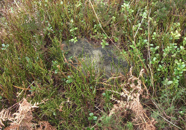
 One of the stones of the circle, almost invisible in the vegetation. |
|
I tried on a couple
of occasions to find the remains of this stone
circle in the late summer of 2007 but due to the thick covering of heather
and bilberry I am still not sure if I managed to locate it or not - I have included
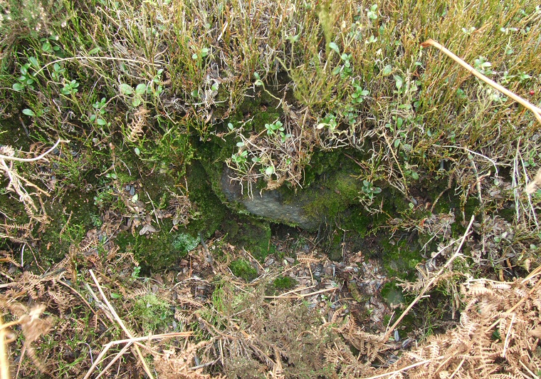
it here for completeness in relation to the other sites of Eyam Moor. According to English Heritage it consists of four low stones (none above 30cm in height) set into the inner edge of an earth bank 8 metre in diameter, this bank extending 2-3 metres beyond with a possible entrance to the northwest. There is speculation that there were originally nine stones in the circle. Within the circle are the remains of a 4 metre wide cairn that shows evidence of either robbing or previous excavations. *Update* Feb 2008. A visit to Eyam Moor in winter allowed me to finally find this site. The dimensions above are about right although I would estimate that the cairn was smaller than stated and appears to be lined with stone slabs. The stones of the circle are fairly difficult to find and even in February they are mostly covered in vegetation but the bank is still quite well defined. Date: Bronze Age |
 Looking down into the excavated/robbed cairn. |