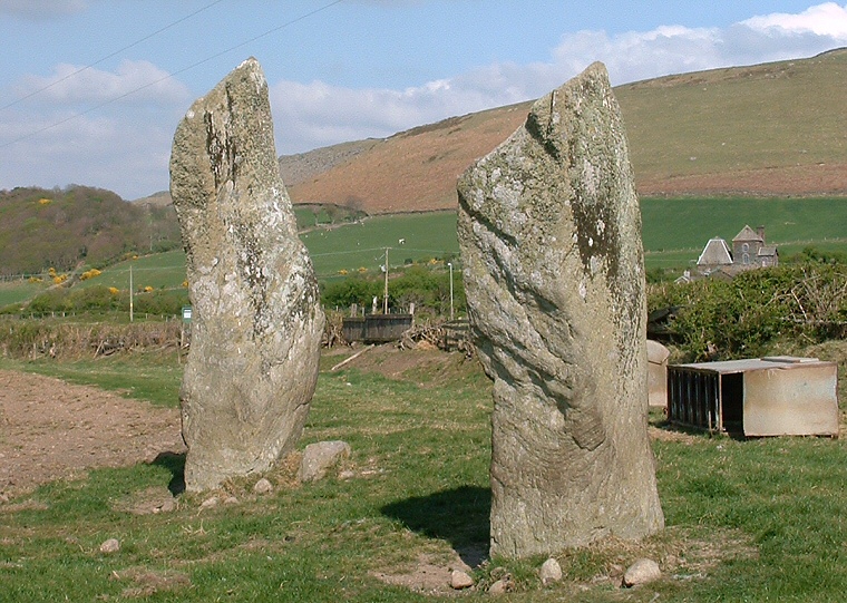
A report from the late 18th century suggests that they were originally part of a burial mound which has now gone but if they are in their original position and orientation then their axis of alignment is roughly southwest-northeast, pointing in the direction of Whitcham Beck valley - could it be that they were indicating a safe route between the hills? If we look at the narrow edges of the stones, they are pointing northwest-southeast marking the lowland plain between the sea and the hills - was this another possible trackway or route?
The stones also have evidence of prehistoric rock art - both are marked with simple cups.