This is a difficult site to visit
as it stands less than half a mile away from the Sellafield nuclear power station
- parking anywhere near the site is restricted and visitors are not generally
welcome. However I managed to find a small lay-by on a minor road that leads up
to Seascale Hall and luckily there is a public footpath that leads to the sea
and passes around the edge of the field that holds the stone circle.
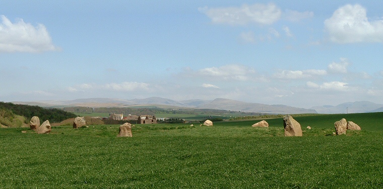
The power station dominates the view to the north while there are more pleasant
views of the Cumbrian fells to the east, the photograph above is of the view looking northeast towards the northern hills of the Copeland Forest. The Irish Sea is just a short distance
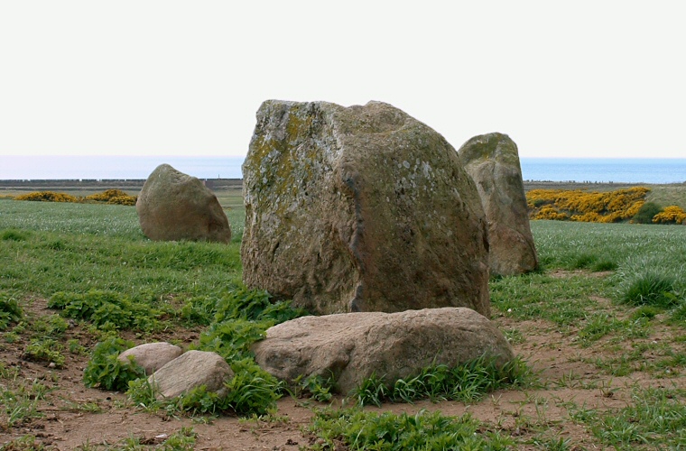
to the west as can be seen below, at high tide only 500 metres from the circle, and it may well have had a influence on the builders decision to site the stones on this spot.
The circle itself consists of ten large boulders that remain of an
original twelve stones - they were all pulled down and buried by a farmer in 1820
and the site was not restored until 1949, the tallest stones now stand over a
metre tall and the circle has a diameter of about 27 metres. Pieces of burnt bone
and part of a jet
ring were found in a kerbed cairn
at the centre of the circle as well as a broken Langdale axe close to a stone
on the east.
The circle dates from either the late Neolithic
or the early Bronze
Age. |

