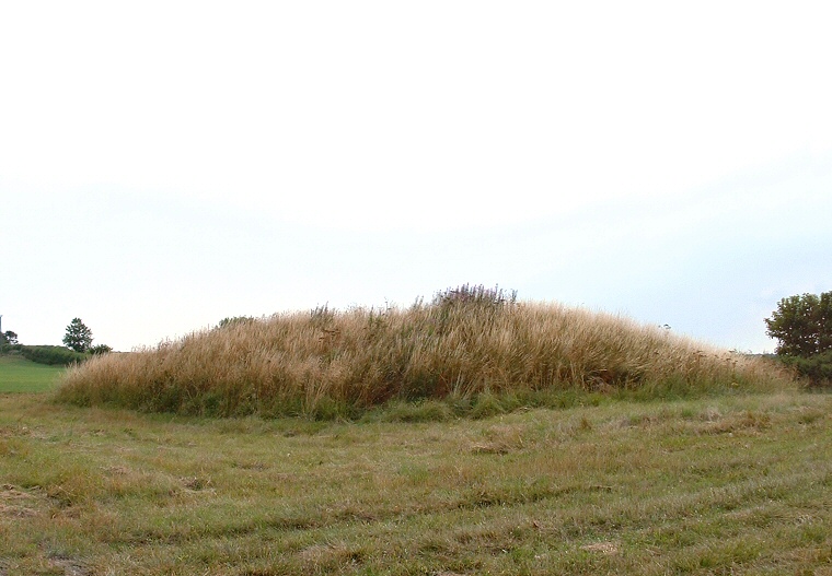
This is a nice barrow
in a pleasant spot standing on gently eastward sloping land between two tributaries
of the River Lymn with some great views of the surrounding countryside.
The barrow itself is oval measuring roughly 30 metres by 20 metres (probably the result of plough damage) and stands about a couple of metres tall with a sizeable depression in its top. It is though that this is the result of the barrow being used as the base for a windmill at some time in the past, indeed it is marked on the OS map as 'mill mound'.
Date: Bronze Age
