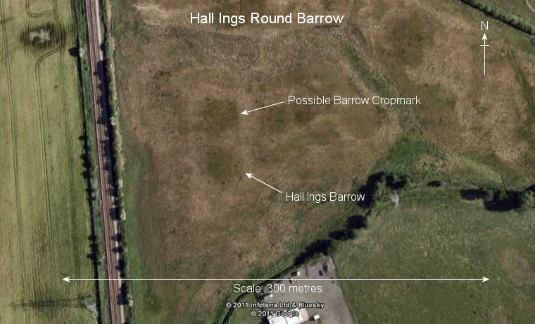
Google Earth image of Hall Ings Barrow and at least one other possible barrow.
This round
barrow can be seen from the A1079 road that runs from the north of
Hull towards Beverley and is sandwiched between this road, a line of electricity
pylons and a railway line - it is also close to a motorbike training center
and has been lucky to have survived the northward expansion of Hull and
Cottingham. I couldn't get a photograph of it from the ground to the satellite image above will have to suffice.
The barrow is the sole survivor of a group of three that are said to have stood at Hall Ings and measures about 25 metres in diameter and a metre high with the crop mark of at least one other barrow a few metres to the north. This group of monuments were constructed on very flat land, there are no hills or views here but there are however a number of small streams nearby (such as Wanlass and Creyke Beck) and it could be that the area was formerly a marshy 'liminal' area unsuitable for livestock or habitation but ideal as a landscape of the ancestors.
Date: Bronze Age