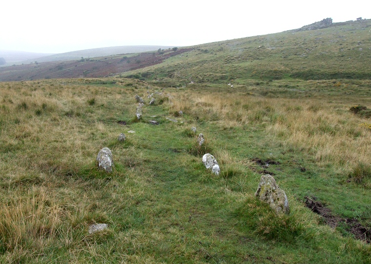
 Looking west along the double stone row, Black Tor is at the upper right of picture. |
|
This monument
consists of a pair of stone rows, one a single row and other a double row that
converge on a pair of cairns on the lower south-western slopes of Hart
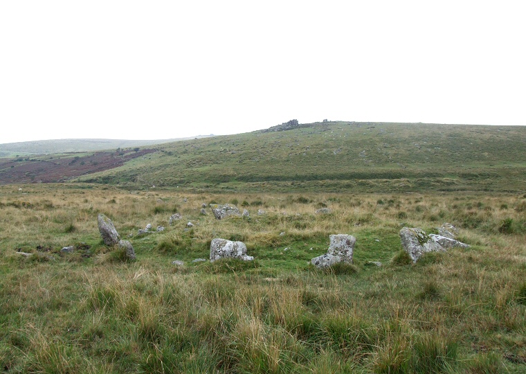
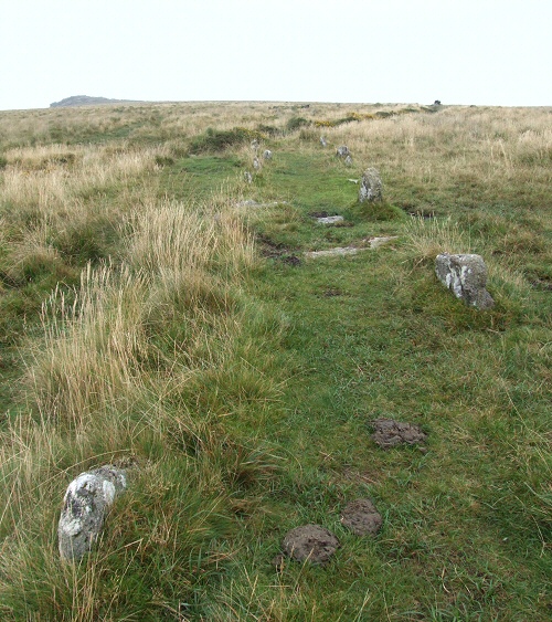
Tor. Of the two rows the double is the more impressive, it starts just to the east of the fledgling River Meavy which at this point in its journey south towards Burrator Reservoir and then onwards to the sea at Plymouth is nothing more than a small stream. From here the row moves gently uphill in a east-northeast direction for around 120 metres and although damaged by nearby abandoned tin workings about one hundred low stones remain with the distance between the rows varying between a metre and a half and two metres. The row terminates at its eastern end with a kerbed cairn comprising of a circle of about fifteen stones some of which are quite overgrown and it could be that there were originally a few more stones that have either been removed or have fallen and are now buried beneath the ground surface. The stones form a kerb of about 15 metres around a robbed cairn that measures around 7 metres in diameter and about half a metre in height. A short distance to the southeast is another cairn, this time without a revetment of stones, measuring about 8 metres in diameter by less than a metre high. This marks the eastern end of the second stone row, a badly damaged course of less than twenty stones strung out in 60 metre line that ascends the hill in a southwest to northeast direction. Despite the fact that both rows rise up the side of Hart Tor the hill itself is not particularly prominent in the landscape indeed the most striking feature is the rocky outcrop of Black Tor with its balancing or 'Logan Stones' which stands about 300 metres away to the northwest (the pile of rocks in the upper right of the picture above). Were the cairns and the row built here to take this outcrop into account ? Date: Bronze Age |
 Kerb stones of the cairn at the eastern end of the double stone row with Black Tor in the background. The mound of the cairn can be seen within the kerb and the dip in its centre may be evidence of unrecorded antiquarian investigations or more likely an attempt to rob the cairn of any valuables that the diggers thought may be contained within it. |
 Looking eastwards uphill along the double row. |
Back to Map | Home | Full Glossary | Links | Email: chriscollyer@stone-circles.org.uk