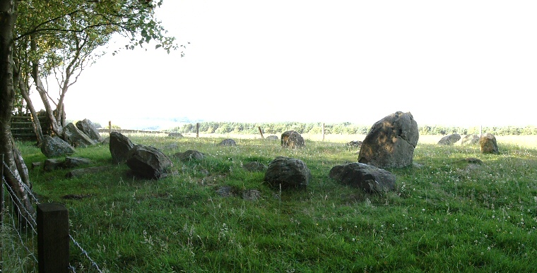
View of the circle looking northwest. The forest is to the left beyond the fence.
This small stone
circle is also known as the Druid's Circle and is situated just beyond
the north-eastern edge of the southern end of Harwood Dale Forest on the intriguingly named Standingstones
Rigg close to the site of several cairns
and barrows.
There are originally thought to have been around twenty-four stones here with the fifteen that now remain set into a low 14 metre wide earth mound, the circle itself having a diameter of 8 metres. A single large boulder measures just over a metre in height while most of the the rest of the stones are much shorter and many are leaning outwards.
In the centre of the circle are three uprights which are believed to have formed part of a burial cist, two stones found nearby and thought to be from this cist were decorated with cup and ring marks and were removed from the site and are now in Scarborough Museum (see image at bottom of page).
It is probable that the monument we see today was not conceived as a stone circle, as the earth mound the stones stand on may suggest that it may have been a barrow or cairn with the ring of stones forming an revetment around the central cist. The whole structure would then be either partially or fully covered with earth and rubble which has since been removed leaving the present circle of stones visible.
Harwood Dale probably dates from the Bronze Age.
Update:
I've had a few emails over the years asking for directions to Harwood Dale so I'll add them here but bear in mind that I haven't visited the site for many years so access may have changed since then.
The stones stand close to the A171 road about 4km (2.5 miles) northwest of the village of Cloughton and cars can be parked next to the forestry track without blocking access at about SE981975. From here walk southwest along the track with the fence and pasture field to your left for about 300 metres. On your left is rough track or path that follows the fenceline and the southern edge of the pasture, follow this path with the forest to your right for about another 350 metres (passing a boundary stone along the way) and you should see the circle over the fence to your left. Please note that this track used to get very muddy and churned up in wet weather and that while the tracks are on Forestry Commission Access land the circle itself is on private land and must be viewed from the fence.
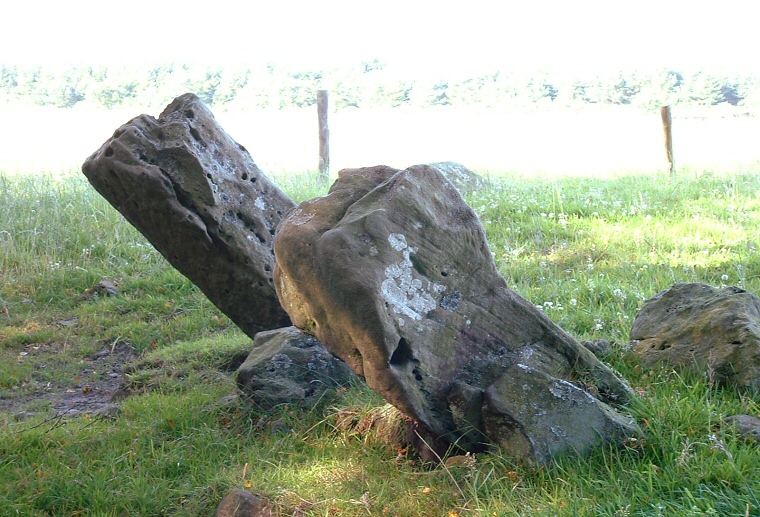
Leaning stones on the northwest of the circle.
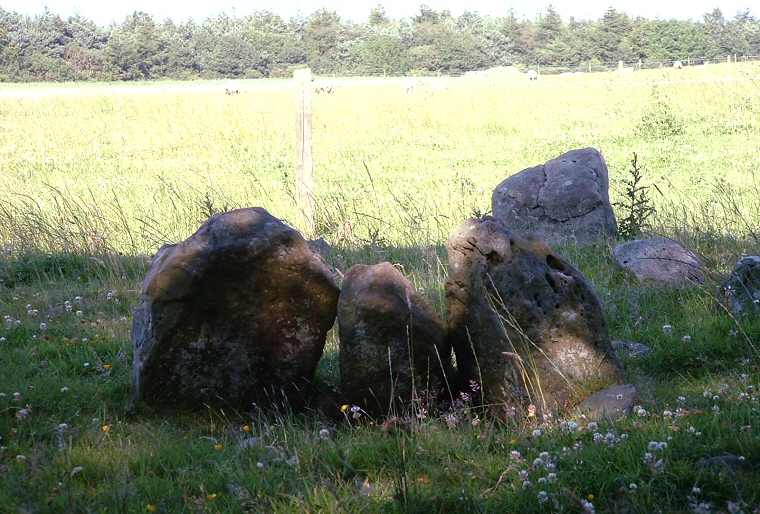
Three stones in the centre that formed part of a cist.
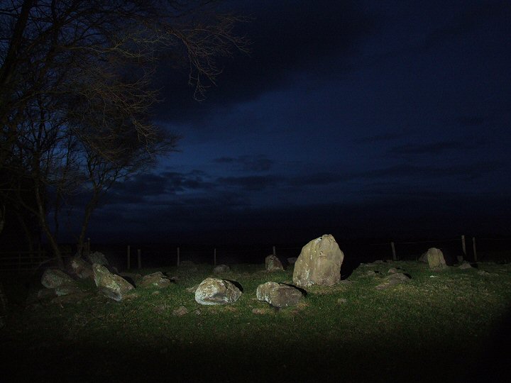
Harwood Dale circle at night lit by flash.
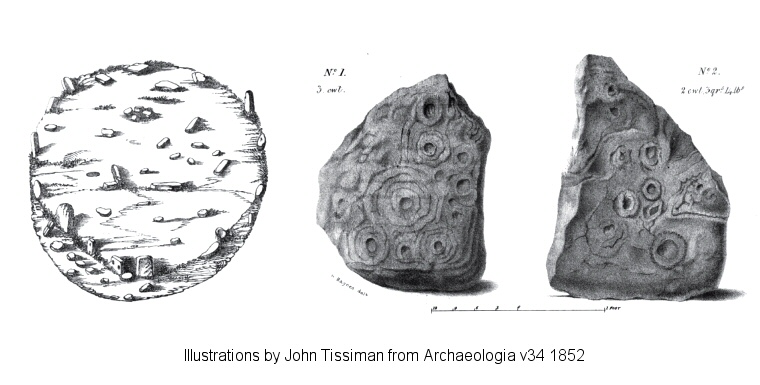
The image on the left shows John Tissiman's plan of Harwood Dale from 1852. The two stones recovered from near to the circle and thought to be from the cist are shown right, the scale bar represents 2 feet (60cm).