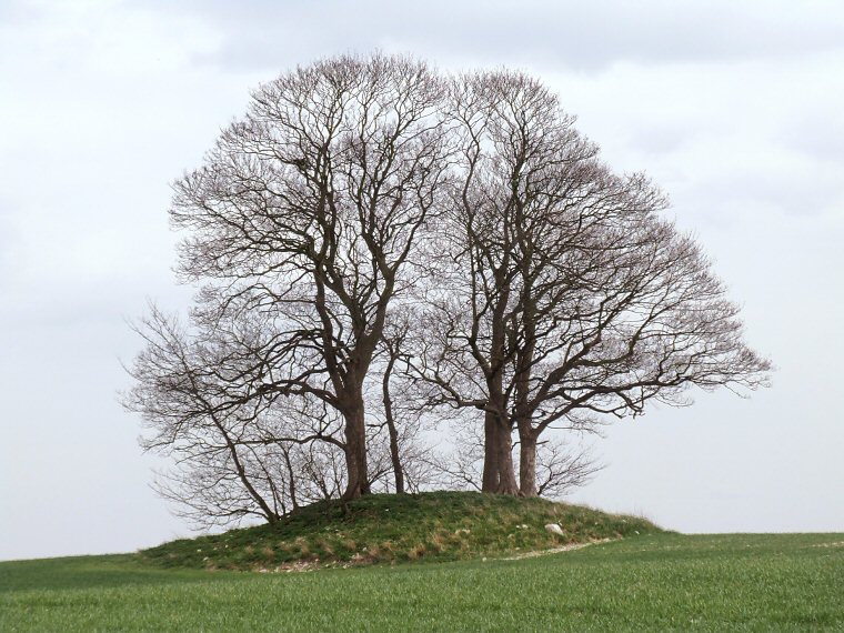
Looking southeast and slightly uphill to Howe Hill barrow
Howe Hill round
barrow stands on a gentle rise in an otherwise fairly flat landscape
above and to the south east of Wootton Grange and can be seen from some
distance due to the crown of trees growing on it.
This earth and chalk rubble monument is the most northerly of the surviving Lincolnshire barrows but unusually for the county it is not associated with any streams or rivers, the nearest one being 2-3 miles away. It measures about 17 by 11 metres, its original circular form having been reduced by plough action although it still stands to a height of around 2 metres.
Date: Bronze Age