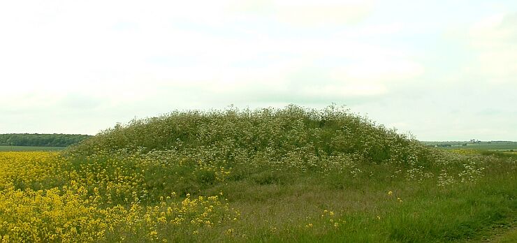
This is a barrow of
undetermined age that stands on a slight rise to the east of the River
Witham flood plane. Excavations in 1912 suggested that the mound may be
Medieval and the close proximity of the remains of Bardney Abbey half
a mile to the west may support this but it doesn't rule out the possibility
that it was built on an earlier Bronze
Age round
barrow - there were several barrow cemeteries along this stretch of
the Witham and also beside one of its tributaries to the north, Barlings
Eau. The barrow is about 12-15 metres in diameter and stands about 2 metres
tall.