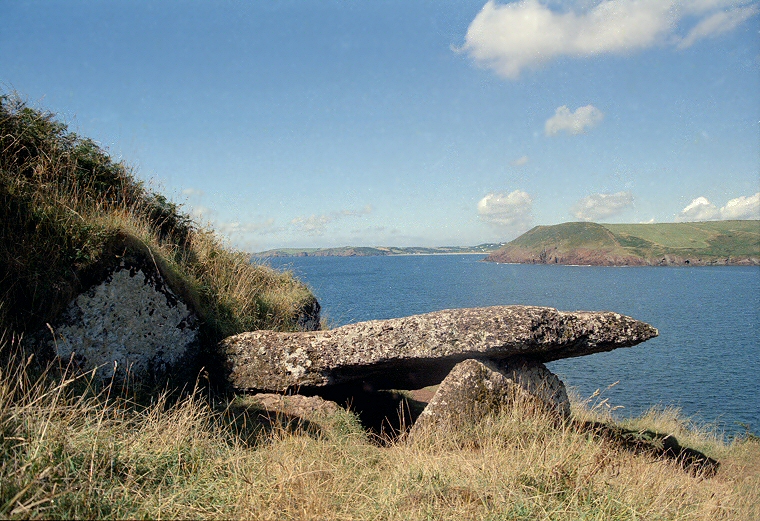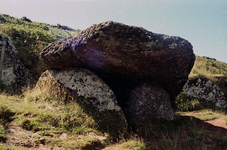
Partly supported by the earth of the hillside at the back of the chamber along with what may be an earthfast boulder and partly by two other uprights towards the front of the chamber the capstone however seems to have subsided to the west, presumably caused by the colapse or removal of some of the uprights. To the left of the photograph above (looking westwards towards East Moor Cliff with the hills of Stackpole beyond) and to the right of the image below are a couple of slabs that are a good match for the remaining uprights - were these part of the original construction of the tomb? The capstone itself now stands less than a metre above the ground but is a fine sliver of localy sourced red sandstone measuring a massive 4 metres long by 2.5 metres wide yet is only 50 cm or so deep.
There can be few finer places to spend a couple of hours on a warm summer's day and it is obvious that the original tomb builders shared the same idea except here the bones of the dead would have eternity to enjoy the view.
Date: Neolithic

View from beneath the capstone