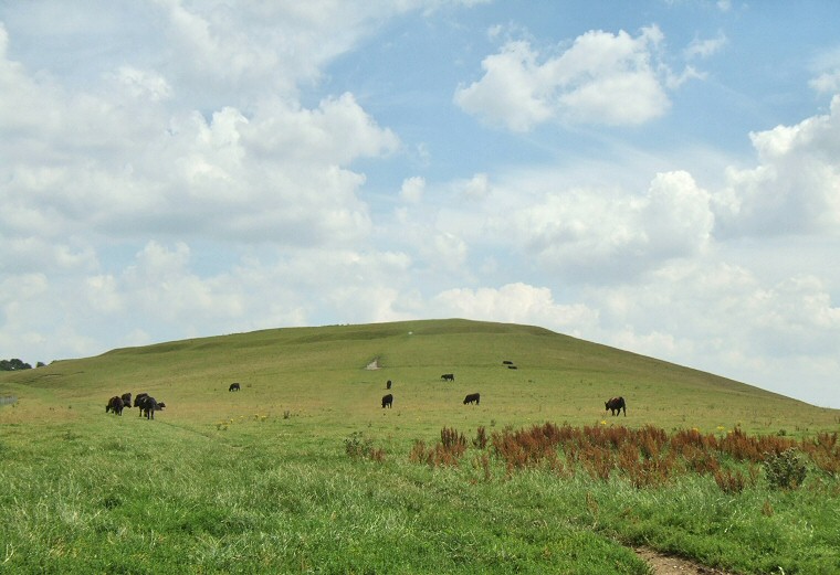
View of Knap Hill looking east from the track than runs across the southwestern lower slopes of the hill. The ditches of the causewayed enclosure can be seen just below the summit.

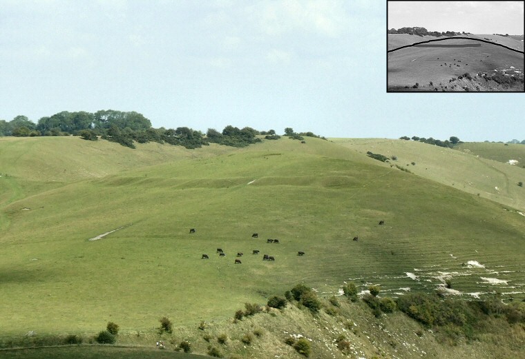
The view of Knap Hill looking northeast from Adam's Grave long barrow. The two sites are almost at the same elevation (250 metres above sea level) and from here the outline of Knap Hill blends into the higher ground of Golden Ball Hill behind it although the ditch segments of the causewayed enclosure show up remarkably well. The inset image shows the hill outline with the ditches marked in dark grey.