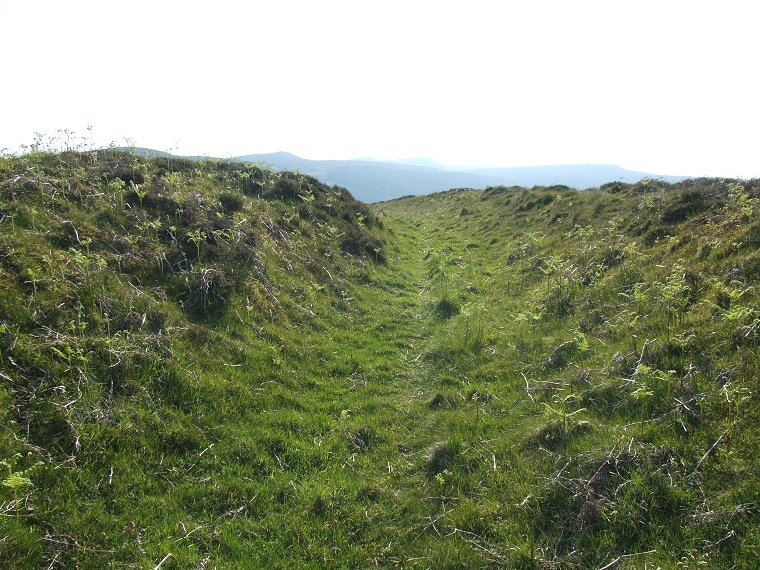
 Inner banks and ditch on the northern side of the fort. Here the view is looking west towards the Simonside Hills |
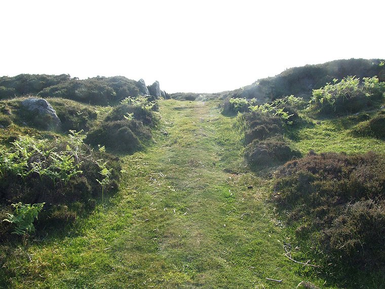
 Eastern entrance looking west into the early evening sunlight. To the left of the entrance are several facing stones. |
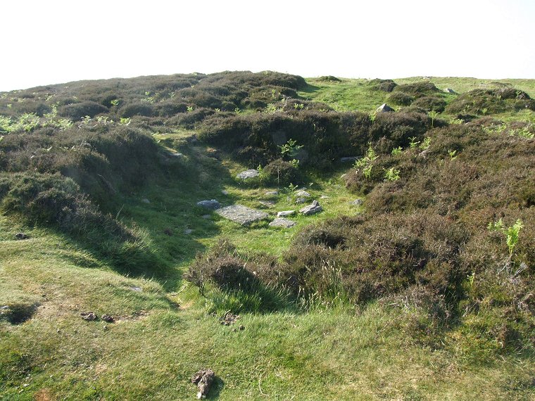
 Remains of a hut within the hillfort. This could be one that was excavated sometime in the 19th century. |
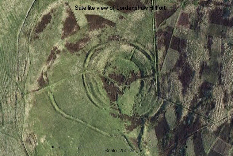
 Google Earth view of the hillfort with north at the top. The inner ditches and ramparts are clearly visible as are further outworks towards the southwest. |
Back to Map | Home | Full Glossary | Links | Email: chriscollyer@stone-circles.org.uk