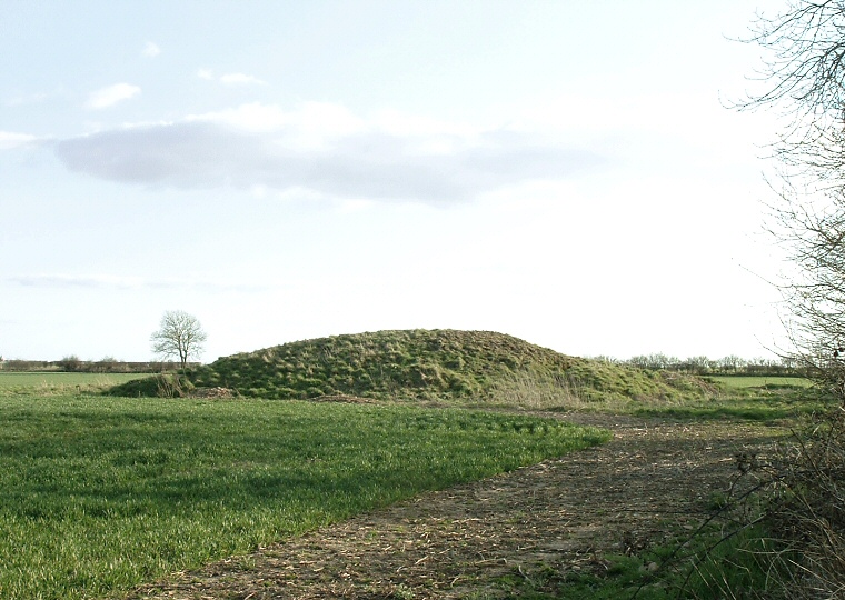
View of the barrow looking south
Ludford barrow
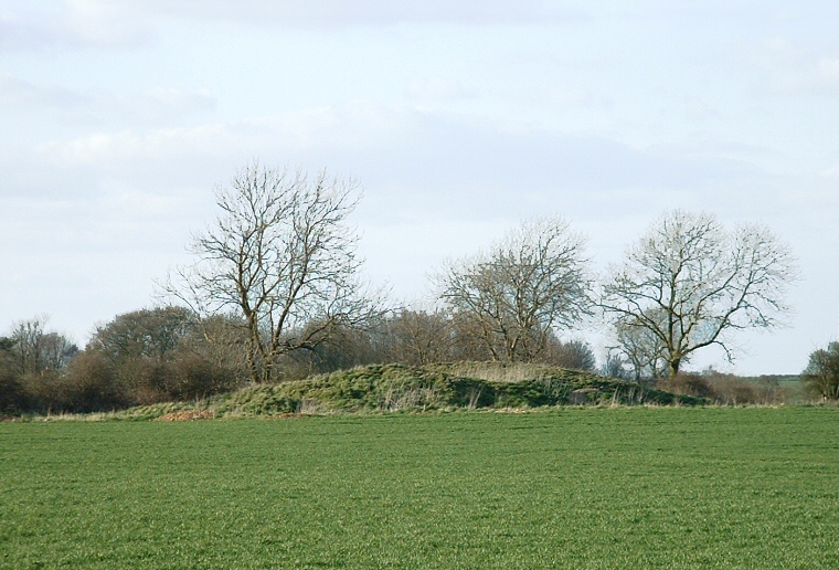
is a sizable slightly oval Bronze Age burial mound measuring between 30 to 35 metres in diameter
and 2.5 metres in height although it has been badly dug into during excavations
in 1941 and generally vandalised since.
It stands a short distance to the southwest of the village of Ludford and just a couple of hundred metres from the B1225 road. This road follows the route of an ancient trackway known as 'High Street' that runs along the eastern spine of the Lincolnshire Wolds and as well as other barrows the track also has several earlier long barrows associated with it. Also just a short distance to the north is the source of the River Bain which goes on to flow past several prehistoric monuments on its journey south so it could well be that this barrow was an important part of the ancient Lincolnshire landscape.
Interestingly the farm just to the north of the barrow is known as 'Gally Hill Farm', this name being a reference to the belief that the mound was though to be the site of a set of gallows at some point in the past.

Ludford barrow - looking north