|
Click and drag your
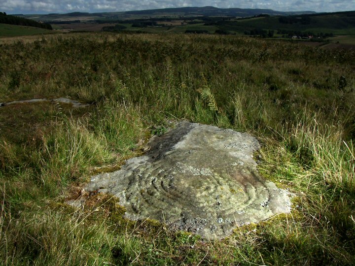
mouse in the picture above to scroll around the landscape of Gled
Law. The view starts looking southeast with the carved rock (Gled
Law 2a - see below for a closer view) in the foreground and the outcrop
of Chatton in the background. To the right is the northeastern edge
of the Cheviots while the hill to the left marks the southern end
of Doddington Moor. |
Panorama Index | Main Index | Full Glossary | Links | Email: chriscollyer@stone-circles.org.uk
