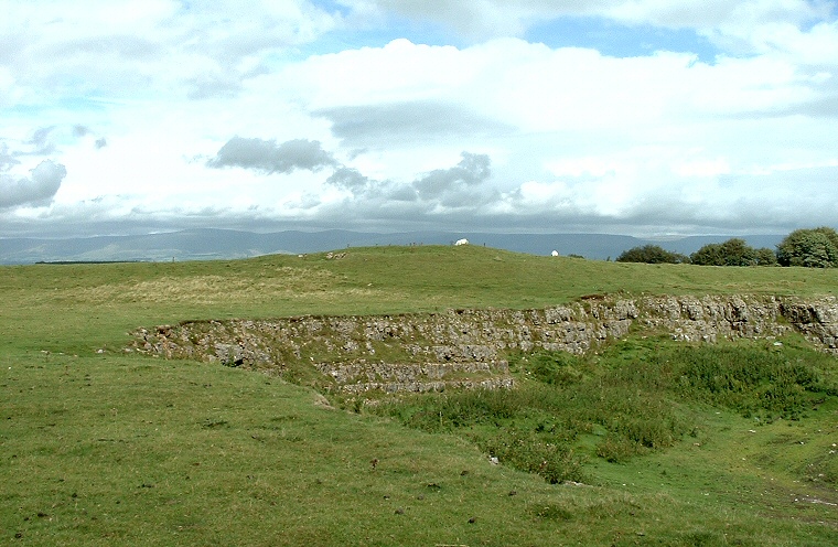
The cairn
of Raise Howe stands on a northeast-southwest spine of land that runs
between the valleys of Lyvennet Beck to the west and Scale Beck to the
east. This spine is now the route of the B6260 but may well have formed
a prehistoric trackway down towards the flat valley bottom formed by the
confluence of Birk Beck and the River Lune.
What remains of the earth and limestone rubble cairn is now covered with soil and grass which is visible as the low mound in the picture above. In the foreground are the scars of a recent but now abandoned limestone quarry - the cairn is lucky to have survived the quarrying although its exposed position and erosion has probably lead to its height being reduced to just over a metre with its diameter measuring between 18 metres and 23 metres.
Date: Bronze Age