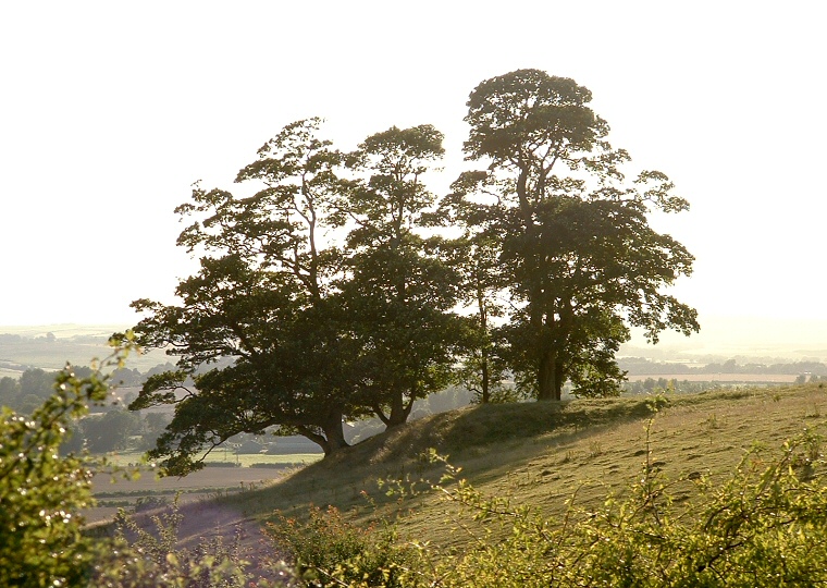
View looking southwest across the Lymn valley in gorgeous late summer evening sunlight.
The first impression
of this bowl
barrow is "location, location, location". It sits on a small
natural spur that extends southwest from a hill above Dalby Hall a few
miles from the southern limit of the Lincolnshire Wolds. Half-way between
the small woods of Callow Carr and Helen's Firs its position affords fine
views over the valley of the River Lymn towards the hills at Raithby-by-Spilsby
and Hundleby and this stunning viewpoint would seem to be the reason why
the barrow builders chose this particular spot. The question would seem
to be, was the barrow designed to allow the spirit of the occupants to
keep watch over their former territories and perhaps be the place for
seasonal ceremonies or was it designed to be viewed from the rich farmland
of the valley floor as an imposing reminder to the remaining families.
Perhaps it was both.
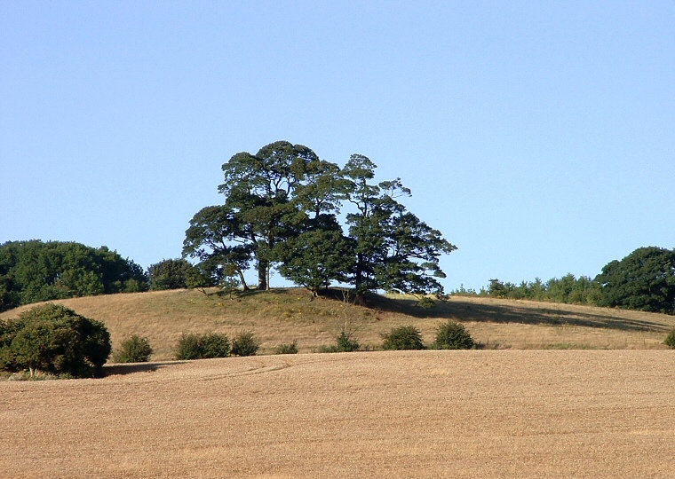
Ring Holt's height has probably been reduced over the years, its exposed position leading to a flattening of the hill but it still survives to about a metre and a half tall with a diameter of about 30 metres and there are traces of the original surrounding ditch on the northern side of the mound.
Date: Bronze Age

View of Ring Holt (beneath the trees in the centre of the picture) looking east across farmland from a track close to the village of Langton.