Ringses
Bronze Age Carved Rocks / Rock Art
Northeast of Doddington Moor, Northumberland  OS Map Ref NU01633288
OS Maps - Landranger 75 (Berwick-upon-Tweed), Explorer 340 (Holy Island & Bamburgh)


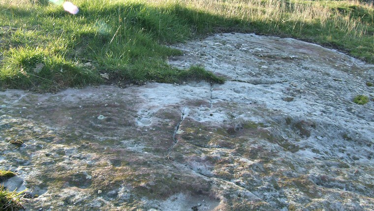
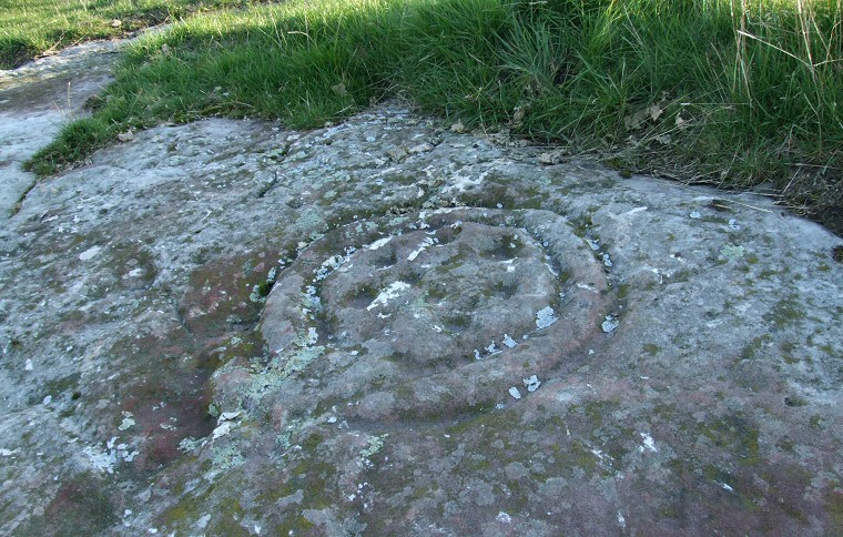
Ringses 1b - detail of one of the carvings
Ringses 1b - detail of one of the carvings.
Ringses 1b - detail of another of the carvings
Ringses 1b - detail of another of the carvings (to the left)
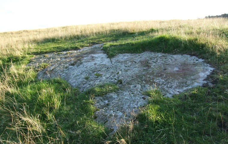
Ringses 1b, overview of the entire rock
Ringses 1b, overview of the entire rock.
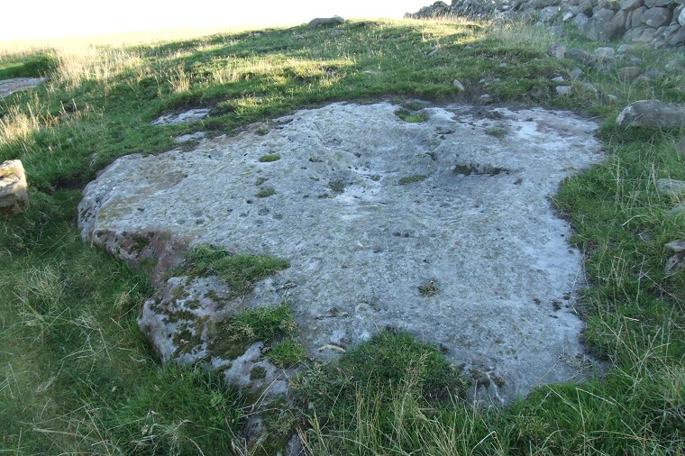
Ringses 1a, overview of the rock
Ringses 1a, overview of the rock. Rosette visible just to the right of centre.

Back to Map | Home | Full Glossary | Links | Email: chriscollyer@stone-circles.org.uk