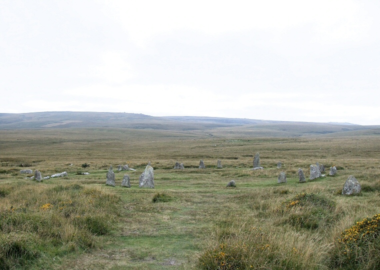
 Looking west over Scorhill Circle towards Warten Tor and Wild Tor. |
The best way to describe
Scorhill circle is that it is 'stark in its landscape' The landscape of Gidleigh Common and Scorhill Down is open and rugged rough moorland that gently
slopes to the west and the unshaped granite blocks almost seem as if they have
been pushed up through the earth, especially the tallest stone located to the
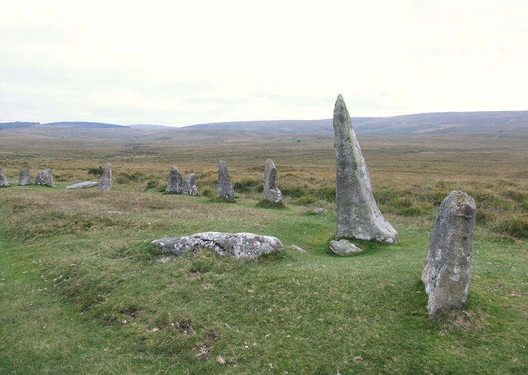
northwest of the circle which resenbles a shark's tooth from certain angles and stands nearly 2.5 metres tall (photograph below). The site consists of twenty-three stones still standing with another eleven fallen, two of these showing evidence of the work of stone masons with part of one of the stones missing - this damage is thought to have been done sometime before the 18th century. Estimates for the original number of stones are as high as sixty or seventy. Given that the circle only has a diameter of 27 metres this would mean that it would have had twice the stone density of the slightly bigger southern circle of the Grey Wethers, 2.8 miles away to the southwest. It would certainly have been an imposing sight. Although the circle dominates the local landscape it does not stand in isolation, there are several cairns close by, two of which show evidence of having stone kerbs. There are several stories or legends surrounding Scorhill with a recurrent theme being that horses or livestock often cannot be lead through the circle. A short distance to the south by the North Teign River is the Tolmen Stone, a large holed stone that also has stories attached to it, this time that passing through the hole could cure various ailments. Date: Bronze Age |
 The northwest arc of the circle looking southwest with Fernworthy Forest on the horizon to the left. |
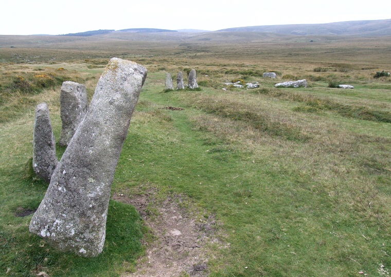
 The southeast arc of stones with the second largest remaining stone of the circle in the foreground, it stands almost oposite the tallest stone shown in the photograph above. The view is again looking southwest towards Fernworthy and in the direction of The Greywethers stone circle 2.8 miles away at the foot of Sittaford Tor (the hill on the horizon in the centre of the picture). |
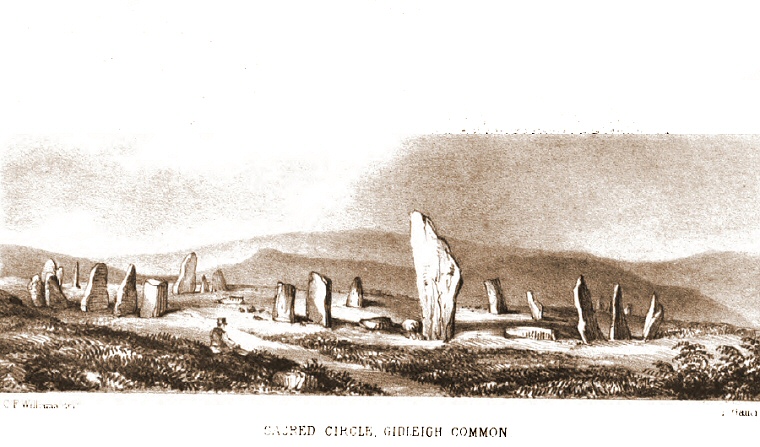
 Illustration of Scorhill taken from 'A Perambulation of the Antient and Royal Forest of Dartmoor' by Samuel Rowe 1848 showing that although it was damaged by stone robbing in the past it has thankfully remained remarkably intact since the middle of the 19th century. |
Back to Map | Home | Full Glossary | Links | Email: chriscollyer@stone-circles.org.uk
