 |
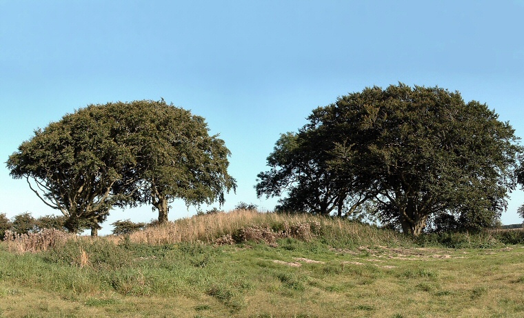
Sharp (or Sharpe) Howe is the best
preserved barrow
of a small cemetery of eight and survives in reasonably good condition - although
somewhat overgrown - to a height of around 2 metres and a diameter of 20 metres.
It was built on a chalk platform with chalk slab revetting then covered with earth,
with chalk rubble used to cover a single female burial accompanied by a food
vessel. All of the barrows in this group were excavated in the 1880's by Canon Greenwell who found further burials and cremations as well as flint knives, a bone pin and more food vessels. He also says that Sharp Howe had a ‘conical form’, the top 6 feet having been removed ‘many years ago, but within living memory'. Although Greenwell called this site 'Sharp Howe' it is marked on the OS map as 'Sharpe Howe'. Another of the barrows in this group, a little to the south at TA051770, survives to a height of around half a metre. Date: Bronze Age |