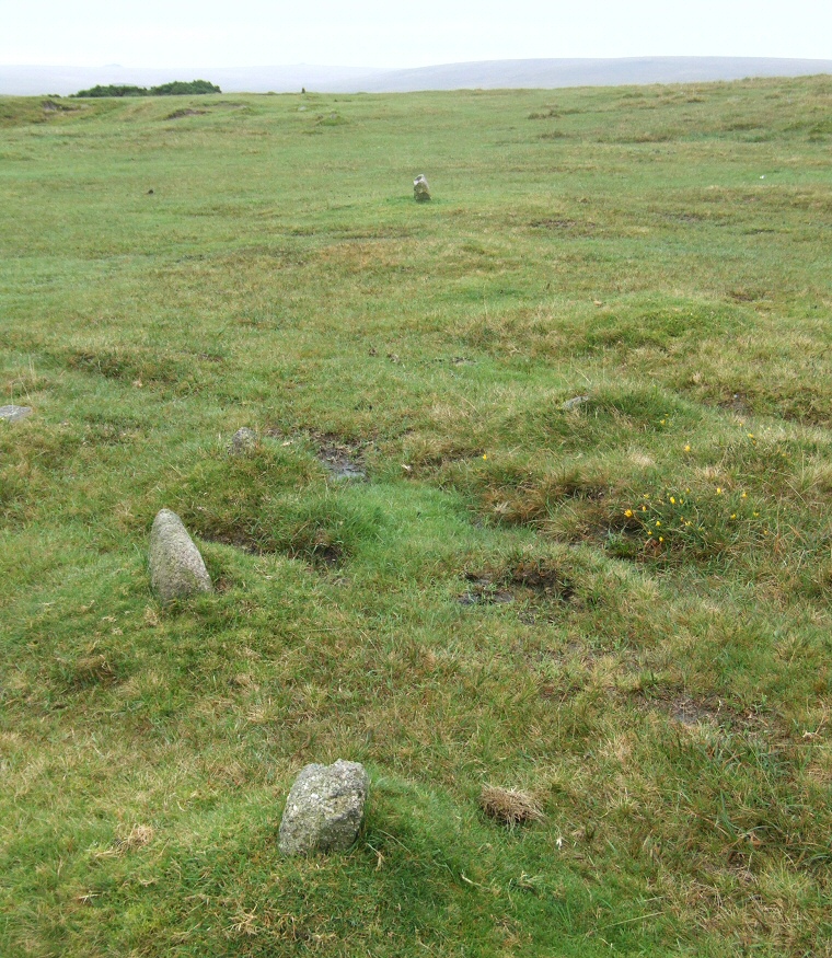
 The double stone row at Sharpitor looking northeast. |
|
The stone
rows to the northwest of the summit of Sharpitor may not be the most
spectacular of the eighty or so such monuments on Dartmoor but they
are probably the most easily accessible being just a few
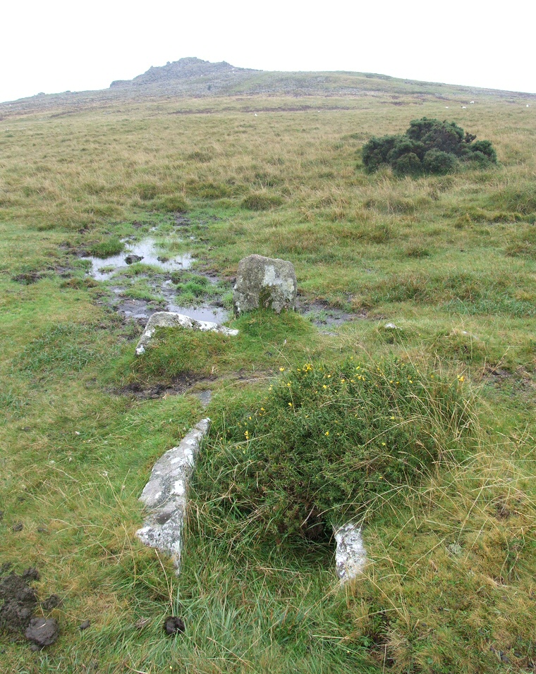
metres south of a small layby on the B3212 road. They consist of a double avenue and a single row, the avenue being the better preserved of the two. It starts with a low damaged cairn about 7 metres in diameter from which the remains of the avenue emerge to travel 113 metres in an east-northeast direction across a fairly level section of the northwest slopes of Sharpitor hill rising just one metre in altitude over the length of its course. Many of the stones are difficult to spot being small and partially covered in earth and grass and it could be that other stones are now completely buried, however despite English Heritage claims that thirty stones remain standing with a further eleven fallen there seemed far fewer visible when I visited. In the photograph above just beyond the pair of stones in the foreground the tops of another two are just visible poking out from low grass bumps. Beyond the stone in the middle of the picture a single stone stands to the right of the bushes towards the upper left of the picture. Close to the double row is a single row of about thirty low stones which are also difficult to make out and again many could now be buried beneath the ground surface. To the northeast of the rows at SX55837068 and roughly in line with them is the remains of a cairn with an encircling ring of stones and a cist towards its centre (photograph below). Nine stones form the ring around the cairn which is slightly elongated north-south presumably as a result of the internal slab sided cist also being oriented north-south, the cist measures just over a metre in length and about half a metre deep and wide. Although not directly connected to the stone rows the possible alignment between this cairn and the rows may have been a deliberate act by the builders of the monuments. Suggested Date: Bronze Age |
 Cairn with a pair of stones of a cist to the northeast of the stone row, looking towards Sharpitor. |
Back to Map | Home | Full Glossary | Links | Email: chriscollyer@stone-circles.org.uk