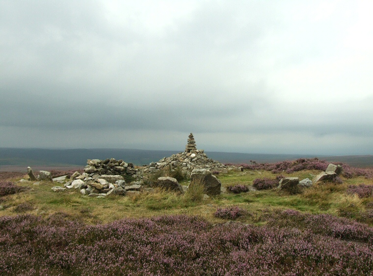
 Simon Howe looking northwest. The kerb of stones is more prominent to the right on the eastern side and measures about 10 metres in diameter. The pile of stones in the centre is a modern walker's cairn while the stones to the left form part of a modern wind break or shelter. |
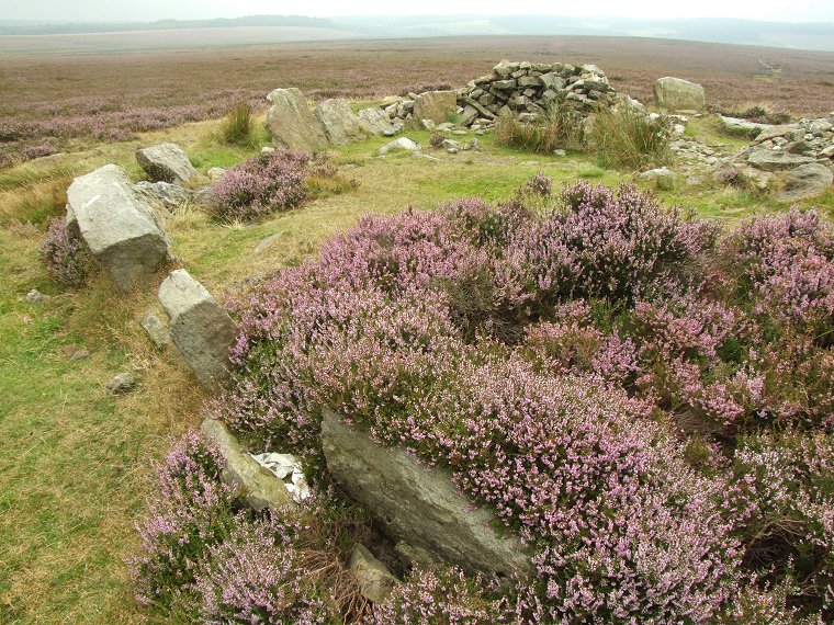
 The eastern arc of kerb stones with the modern shelter at the bottom of the picture and the stones of the row or alignment at the upper centre-left. |
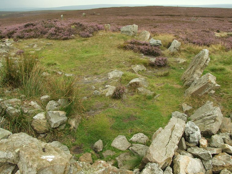
 Looking south over the kerb stones |
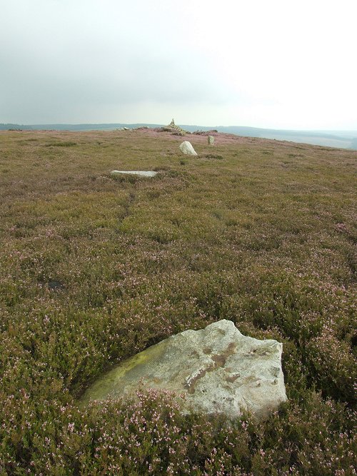 Four stones of the north east to south west alignment looking back towards Simon Howe. Two stones are fallen while two remain standing - evidence of a fifth stone socket was discovered in 1947 |
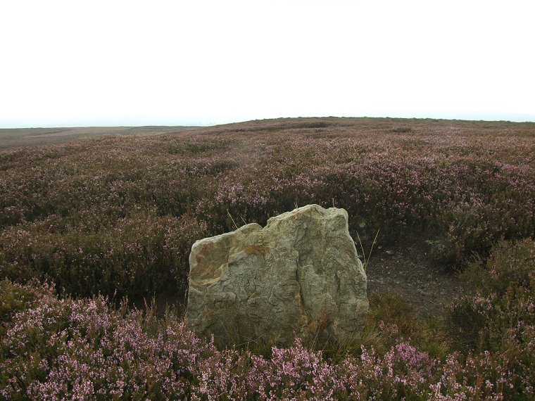 Standing stone close to a barrow (behind the stone) to the north east of Simon Howe |
Back to Map | Home | Full Glossary | Links | Email: chriscollyer@stone-circles.org.uk