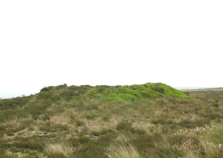
 Barrow 1 - The north-eastern barrow of the group of five that make up the Stony Marl Howes group. |
|
Stony Marl
Howes are a group of five round
barrows than stand on a slight ridge that runs east-northeast to
west-southwest across Brow Moor and Stony Marl Moor and to the south
of a track that follows the same route.
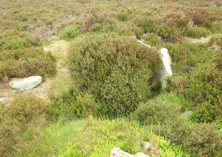
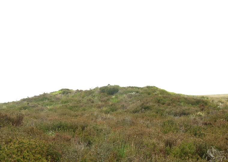
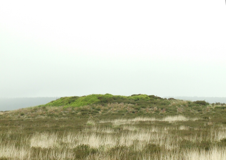
Three of the barrows stand in a line that follows the ridge spaced about 100 metres away from each other while the remaining two towards the northeast are slightly set apart and stand within 10 metres of each other. Of this pair, barrow 1 is show above and barrow 2 below with the final picture on the page being the most northern of the line of three barrows. All five mounds are constructed of earth and stone and would have been surrounded by ditches which have since become filled with soil and are no longer visible. Barrow 1 measures 20 metres in diameter and 1.5 metres high with a crater in the top of the mound suggesting either rifling of the barrow or antiquarian excavation (possibly by Canon Greenwell who opened several barrows in this region). Within this crater are the vertical side slabs of a cist which can be seen in the picture below to the right of the vegetation. Close-by barrow 2 is slightly smaller at about 15 metres diameter and just under a metre high with the remaining line of three barrows all of a fairly similar size ranging from 12-16 metres diameter and standing to about a metre high. Date: Bronze Age |
 The two stone slabs to the right of the bilberry bush are part of a damaged cist in Barrow 1 |
 Barrow 2 - This barrow stands about 10 metres south of barrow 1 |
 Barrow 3 - The central barrow of the group |
Back to Map | Home | Full Glossary | Links | Email: chriscollyer@stone-circles.org.uk