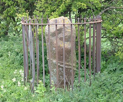
Just
to the north of the Roman road now known as the A66 and southeast of Temple
Sowerby is a layby that houses a Roman milestone, one of only two such milestones
that still stand in their original position. It is over a metre in height
and very worn, and as the photograph shows it is now protected by iron
railings. There were also several Roman settlements in the area, such
as the now destroyed fort at Kirkby by Thorpe.