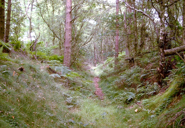
Thieves
Dikes are a series of earthworks believed to have been constructed during
the middle Bronze Age or later. As with the nearby Dargate
Dikes their purpose is unclear - it could be that they marked territorial
boundaries or they could have had a defensive role, they could even have
been used for cattle ranching.
The best preserved of the Thieves Dikes survives within the eastern edge of Broxa Forest at SE972933 where a pair of banks up to 2 metres high enclose the ditch that now forms a track from a road junction southwest into the woods. Further to the southeast beyond the trees are more banks and ditches that also run southwest before swinging abruptly to the northwest - these however have been much damaged by ploughing.
The best preserved of the Thieves Dikes survives within the eastern edge of Broxa Forest at SE972933 where a pair of banks up to 2 metres high enclose the ditch that now forms a track from a road junction southwest into the woods. Further to the southeast beyond the trees are more banks and ditches that also run southwest before swinging abruptly to the northwest - these however have been much damaged by ploughing.