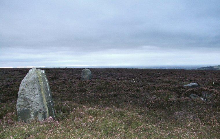
 Thimbleby Moor Nine Stones looking northwest. |
|
This
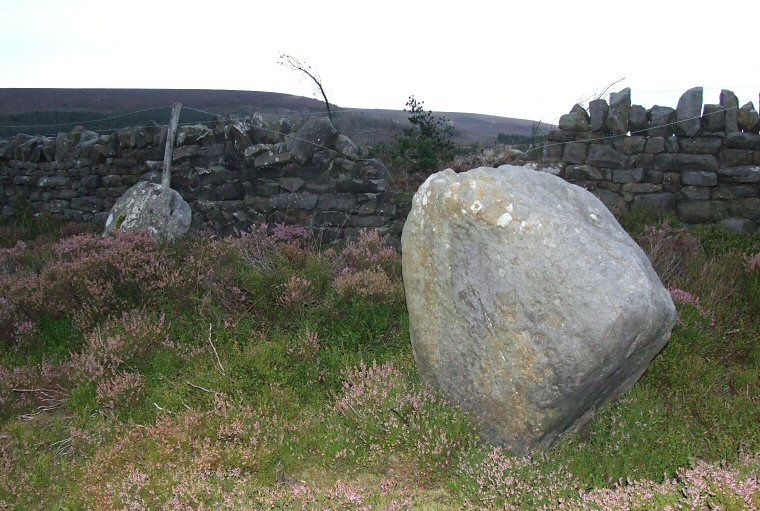
pair of photographs were taken in poor light after sunset. In the picture
above a pair of upright stones are clearly visible to the left with
the one nearest the camera showing eroded grooves indicating it has
stood upright for a very long time but there are also a pair of fallen
stones to the right of the shot. A short distance to the south are a
further pair of stones (bottom picture) close to a drystone wall. While
the one in the foreground look like a bona fide standing stone the one
by the wall looks a little suspicious to me and could well be a boundary
stone - part of a chain of stones that follow a length of the drystone
wall.
What the Nine Stones represent is something of a mystery, very little seems to have been written about them and they do not appear on the Scheduled Monuments list for North Yorkshire. It has been suggested they formed a stone circle but they could equally be the remains of some kind of unrecognized setting or alignment. To add to the difficulty it is also possible that several stones have been lost or moved, the area to the south of the wall is a forestry plantation, a small part of which has recently been felled and several stones have been found here which may have been cleared from the original site. If we consider the location of the Nine Stones we find they stand to the north of the crest of a small hill which itself stands in the shadow of the larger Black Hambleton hill and Arden Great Moor to the southeast (the locations of several cairns and barrows). An old publication by the Yorkshire Archaeological Society* suggests that a long distance ancient trackway ran alongside these hills which would have passed less than a kilometre to the east of the stones. Did they form a junction in the track leading to the narrow spine of Thimbleby Bank that extends for nearly three kilometres to the southwest? If we look to the north and south of the stones we find the land sloping away to Oakdale Beck and Sorrow Beck respectively. The northern slope has several stones which may have stood upright as well as a fine carved rock so we can be sure the Nine Stones formed part of a larger complex of monuments probably of a late Neolithic or Bronze Age date. The forest to the south and heavy growth of heather to the north may well be masking many unrecognized archaeological features and it seems that only a thorough survey of the area or removal of the vegetation may provide an insight into what was going on here. *Many thanks to 'fitzcoraldo' of the Modern Antiquarian website for making this information available online. |
 A pair of stones to the south. The one by the wall may be a modern boundary marker. |
Back to Map | Home | Full Glossary | Links | Email: chriscollyer@stone-circles.org.uk