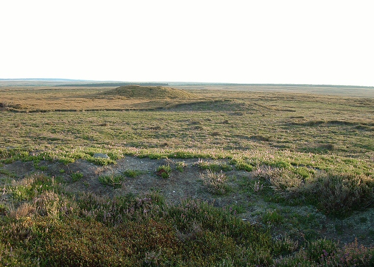
Looking southwest from the top of the northern mound. The rim of the mound's crater is in the foreground with the two other cairns beyond. The trees in the background are Wheeldale Plantation.
The site marked on Ordnance Survey maps as 'Three Howes' consists of a line
of three round
cairns that stand to the west of a private track that leads from the minor
road that runs across Murk Mire Moor and Egton High Moor.
They are aligned roughly southwest to northeast and follow the contours of the moor, the middle one is slightly offset to the south and to the west and is also quite a bit smaller than the other two. The north and south mounds look to be about the same size, the one to the north perhaps being a little larger, both have flattened tops when viewed from the side, this being the result of robbing or excavation. The northern mound in particular has a large volcano like crater in its top.
Described as round cairns they seem to be made more of earth than of stone or rubble although the base of one of the mounds has a small cutaway area that reveals a couple of stone slabs placed at right angles to each other - these could be part of the mound or they may have been placed there in recent times for some unknown reason.
Close by there is much evidence for occupation of the moors. A group of damaged cairns stand to the north as well as others scattered to the northwest and a few to the east along with a field system and what could be a Neolithic trackway.
On the same minor road are a line of standing stones known as the Wheeldale Stones, some of which have square holes cut through them - nobody seems quite sure how old they are although they probably only date from the 17th-18th century.
Date: Bronze Age