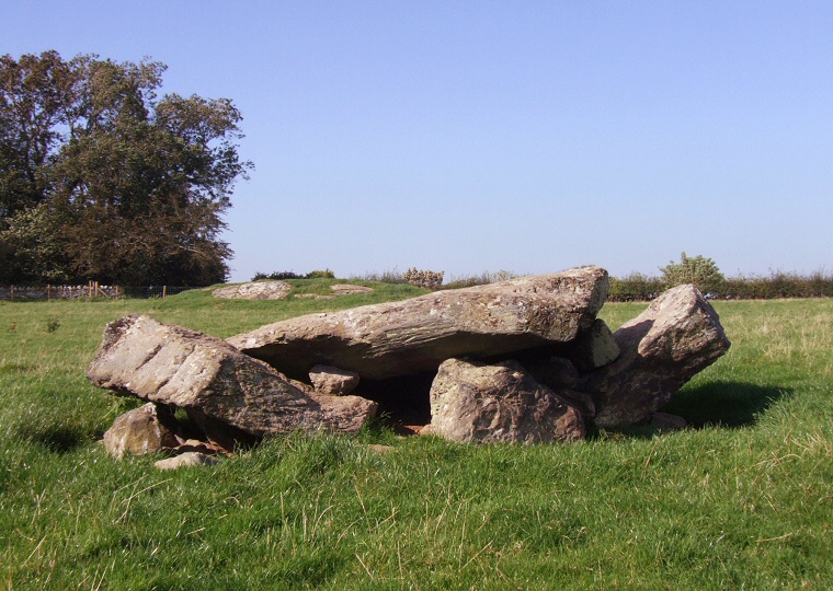
 Ty Mawr - front view of the collapsed chamber. |
|
Just a short
distance northeast of the town of Llanfair Pwllgwyngyll and 900 metres
north of the Menai Strait the remains of Ty Mawr present rather a sorry
sight - the chambered
tomb has collapsed leaving a pile of stones but thankfully these
have not been removed to be broken up for building material as many
other monuments must have been.
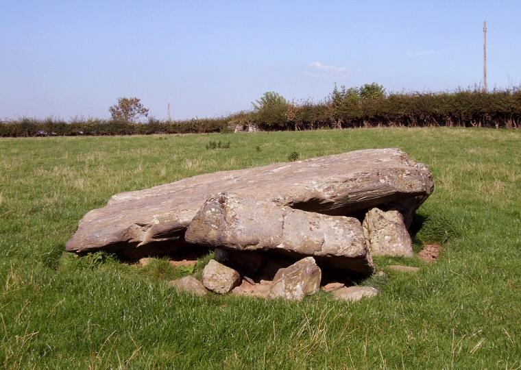
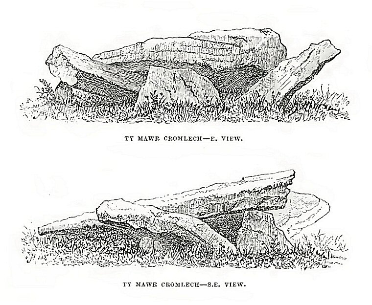
Enough remains for us to reconstruct what the chamber would have looked like, a large slab-like capstone measuring about 3.5 metres by 2.5 metres rests on a pair of fallen uprights each about 1.3 metres long that would formerly supported it and formed the sides of the chamber (the stones resting at an angle to the left and right in the photograph above). There would have been at least one other upright supporting stone to the rear of the chamber and it is probable that the removal of this stone would have lead to the collapse of the structure, this certainly occurred before 1873 when the drawing at the bottom of the page was produced which shows Ty Mawr in almost exactly the same state as it is today. The chamber would have thus resembled sites such as Bodowyr and a sill stone (the stone near the centre above, on which the capstone partly rests) to the east suggests that Ty Mawr was built as a passage grave. Originally this sill stone would have marked the entrance to the chamber at the end of a sort passageway from the edge of a covering stone cairn - the cairn material has now been removed but was marked on early maps and is thought to have measured about 15 metres by 10 metres. Date : Neolithic |
 Side view of of the chamber looking northeast. |
 Illustration from Archaeologia Cambrensis (1873). The views roughly correspond with the two photographs above. |