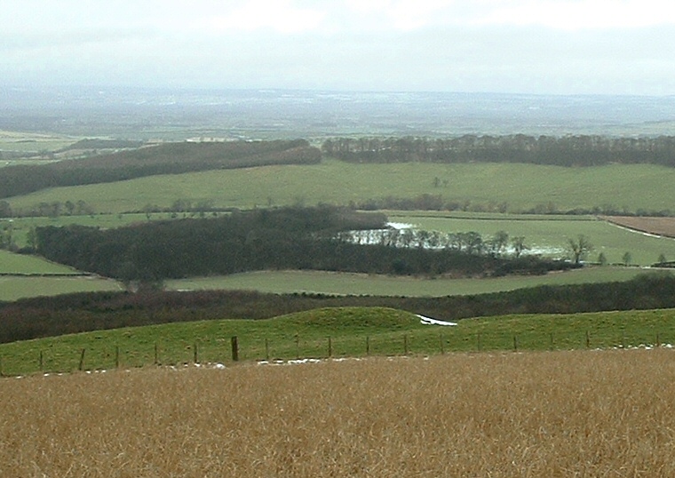
Round barrow at SE835637 looking north towards the Derwent valley.
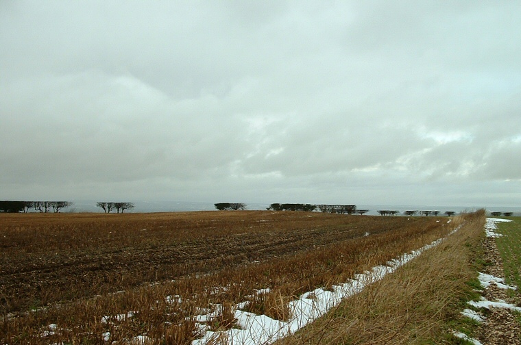
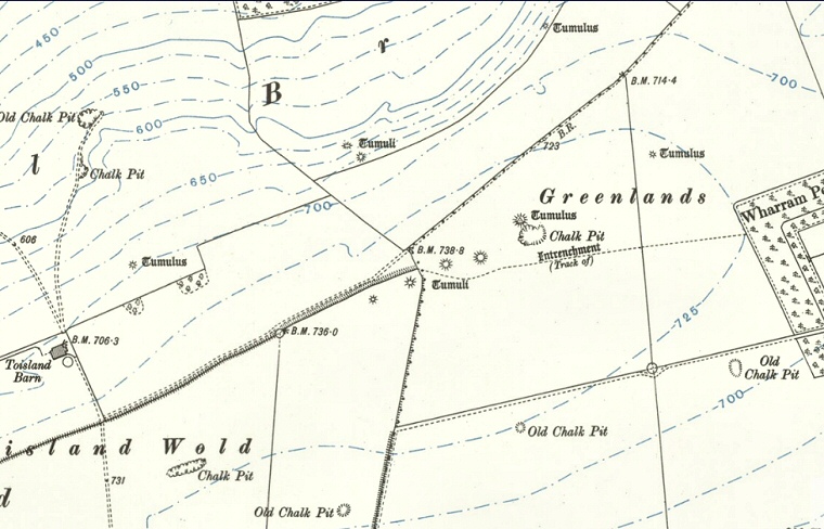
Most of these barrows, especially those on the plateau of land between Toisland Farm and Wharram Percy Farm, have been ploughed away but one survives as a slight bump next to a field boundary that leads north from SE837633. Some are marked on the Ordnanace Survey map of 1911 (image at bottom of page) running in a roughly east to west line to the north of the crest of Birdsall Brow and the area of the map marked 'Greenlands', others seem to follow a similar line but lower down on the northern slope of the hill. According to Dyer in ‘Discovering Prehistoric England’ some of these barrows follow the line of a possible ancient trackway close to Bridsall Brow.
Some of this barrow group was dug into by the antiquarian J.R. Mortimer in 1866 who found inhumations, cremations (sometimes both in the same barrow), food vessels, a bone pin, flint knife and punch, collared urns and jet ear studs.
Date: Bronze Age

A plough damaged barrow in the corner of a field at SE837635.
