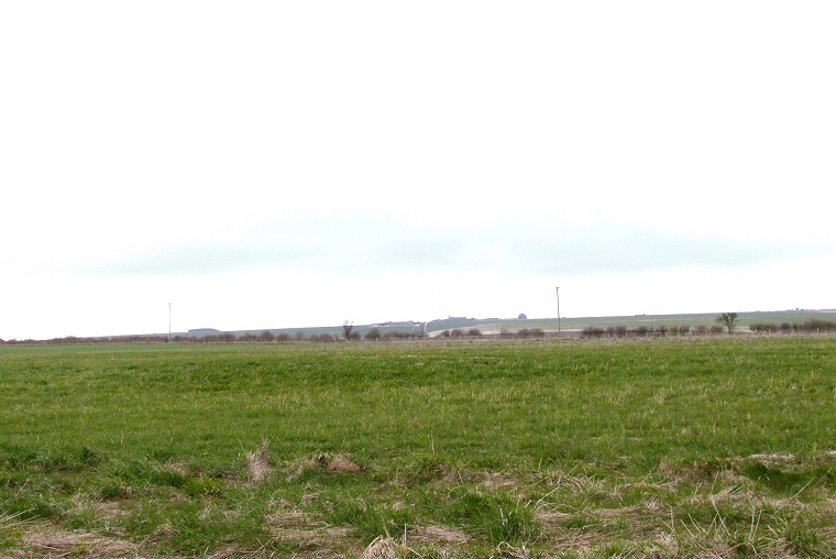
 Looking north over the western end of Willerby Wold long barrow, visible as the slightly darker patch of grass. |
|
There is very
little to see at this site now as the long
barrow and the surrounding later round
barrows have been badly ploughed down over the years. However if you
stand at the bend in the road (see map link above) with the field boundary in front
of you then the east end of the long barrow can just about be made out
in the field to the right although there are the low remains of a bowl
barrow between it and the road. To the left of the boundary there are
a couple of low round barrows recorded by the antiquarian Canon Greenwell in the 19th century but unexcavated.
The large mound that can be seen on the horizon to the south west is
Prior Moor barrow. The Willerby Wold long barrow is around 50 metres long and 13 metres wide oriented east to west and measures around half a metre in height at its eastern end. The ditches from which the mound material was dug and which would have flanked it to the north and south are now completely silted up and are no longer visible. The barrow has been excavated twice, by Greenwell in 1865 and Manby in 1958 and between them they found three burials, a collection of bones and remains of cremations, sherds from pots and flint fragments. The mortuary structure was trapezoidal with a concave wooden palisade at the east end, the whole thing being covered with an earth and chalk mound before being set on fire creating a crematoria with temperatures estimated to have reached nearly 1200 centigrade. Radiocarbon tests from the site suggest a Neolithic date of around 3000BC. |