On an east facing
ridge that separates two dry valleys the Neolithic
trapezoid mound of Ash Holt is one of the smallest long
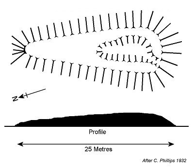
barrows in Lincolnshire measuring around 24 metres in length and
12 metres at its widest point, tailing off to under 6 metres towards the
north. It still stands to a height of 1.4 metres at its southern terminal,
the northern end now being only around half a metre high.
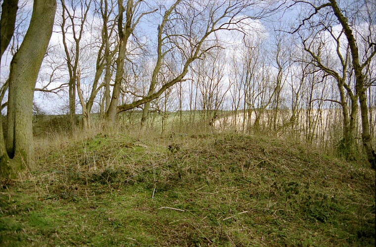
Orientated south-southwest by north-northest and following the contours of the land at a height of 75 metres above sea-level it is badly overgrown and has a pit dug into it at the southern end - there are now no signs of any ditches. The photograph above shows this southern end of the barrow with the pit visible in the top of the mound. This picture is a scan of a photograph taken in the late 1990's since when the site has become so overgrown that photographing it is almost impossible.
This is difficult barrow to find as it is well hidden within the small wood next to a road from Swallow to Thorganby. Park at the eastern edge of the copse and follow the line of undergrowth uphill for a short distance before heading under the trees.
See also: Lincolnshire Long Barrows Introduction and site list.

Plan and profile of the barrow based on C. Phillips 1932