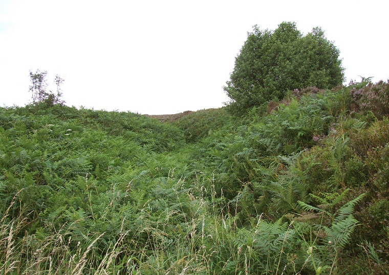
 Bar Dyke looking northeast from SK245945 with the overgrown banks either side and the ditch in the middle. |
|
Bar Dyke is a cross
dyke earthwork of uncertain age that is bisected by a pair of minor roads on the
eastern edge of Broomhead Moor. Although it is unexcavated it is thought it could
be either Iron
Age or post Roman although it could possibly have been constructed as early
as the Bronze
Age or as late as the Medieval period. It measures about 400 metres in length and follows a southwest to northeast course uphill from close to Bar Dyke ring cairn to the edge of Canyards Hills and has banks that measure between 0.5 metres and 1.5 metres in height, the distance between the top of these banks being about 8 metres. The internal ditch is only about a metre wide with the deepest section of the monument measuring nearly 3.5 metres from the ditch to the top of the bank. The earthwork could have been some form of territorial boundary or defensive structure but until it is dated conclusively it is only possible to guess its original purpose. |
Back to Map | Home | Full Glossary | Links | Email: chriscollyer@stone-circles.org.uk