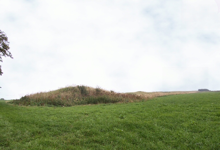
Broadmayne Bank Barrow looking east from the western terminal, the mound at this end is a later round barrow that overlies the earlier Neolithic barrow. The 180 metre length of the bank barrow can be appreciated by following the spine of the mound to the hedgerow on the right hand side of the image.

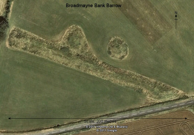
Google Earth satellite image of Broadmayne Bank Barrow. A pair later round barrows can be seen just to the north of the barrow, evidence that the area remained a centre of ritual activity from the Neolithic into the Bronze Age. The Culliford Tree group of round barrows lies just to the west (left) of this image.